
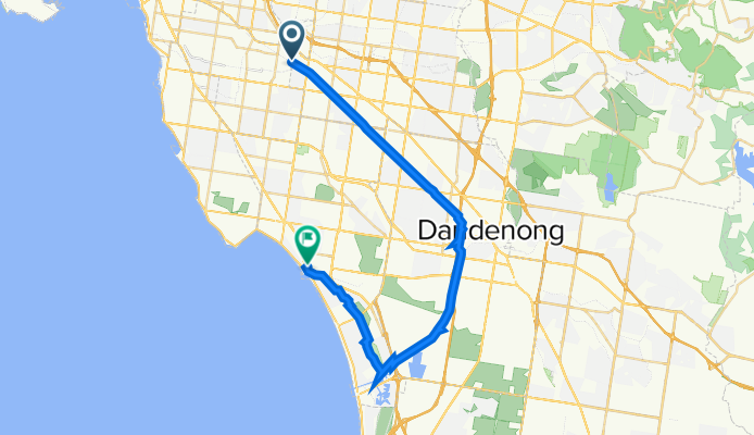
Hughesdale to Mordialloc
A cycling route starting in Hughesdale, Victoria, Australia.
Overview
About this route
This follows the Djerring Trail and connects to the southern part of the Dandenong Creek Trail
- -:--
- Duration
- 35.9 km
- Distance
- 49 m
- Ascent
- 92 m
- Descent
- ---
- Avg. speed
- 70 m
- Max. altitude
Route quality
Waytypes & surfaces along the route
Waytypes
Cycleway
34.1 km
(95 %)
Quiet road
0.7 km
(2 %)
Surfaces
Paved
20.5 km
(57 %)
Unpaved
14 km
(39 %)
Concrete
15.8 km
(44 %)
Unpaved (undefined)
7.2 km
(20 %)
Continue with Bikemap
Use, edit, or download this cycling route
You would like to ride Hughesdale to Mordialloc or customize it for your own trip? Here is what you can do with this Bikemap route:
Free features
- Save this route as favorite or in collections
- Copy & plan your own version of this route
- Sync your route with Garmin or Wahoo
Premium features
Free trial for 3 days, or one-time payment. More about Bikemap Premium.
- Navigate this route on iOS & Android
- Export a GPX / KML file of this route
- Create your custom printout (try it for free)
- Download this route for offline navigation
Discover more Premium features.
Get Bikemap PremiumFrom our community
Other popular routes starting in Hughesdale
 Hughsedale to Spencer St
- Distance
- 31.1 km
- Ascent
- 120 m
- Descent
- 166 m
- Location
- Hughesdale, Victoria, Australia
 Hughesdale to Caulfield loop 50 km
- Distance
- 49.9 km
- Ascent
- 270 m
- Descent
- 269 m
- Location
- Hughesdale, Victoria, Australia
 16 Westminster Street, Oakleigh to 1 Heath Avenue, Oakleigh
- Distance
- 5.2 km
- Ascent
- 27 m
- Descent
- 23 m
- Location
- Hughesdale, Victoria, Australia
 Hughesdale to Mordialloc
- Distance
- 35.9 km
- Ascent
- 49 m
- Descent
- 92 m
- Location
- Hughesdale, Victoria, Australia
 Oakliegh to Spencer st via Convent
- Distance
- 31.5 km
- Ascent
- 94 m
- Descent
- 147 m
- Location
- Hughesdale, Victoria, Australia
 Epic Bike
- Distance
- 87.8 km
- Ascent
- 658 m
- Descent
- 659 m
- Location
- Hughesdale, Victoria, Australia
 Oakliegh to Yan Yean Lake
- Distance
- 55.2 km
- Ascent
- 500 m
- Descent
- 497 m
- Location
- Hughesdale, Victoria, Australia
 Oakleigh to South Yarra via Convent & parkville
- Distance
- 38 km
- Ascent
- 80 m
- Descent
- 132 m
- Location
- Hughesdale, Victoria, Australia
Open it in the app