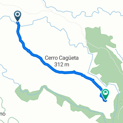
Ricaveral - Montellano - VĂa servicio
A cycling route starting in AlmerĂa, Andalusia, Spain.
Overview
About this route
- -:--
- Duration
- 98.5 km
- Distance
- 926 m
- Ascent
- 916 m
- Descent
- ---
- Avg. speed
- 788 m
- Max. altitude
Route quality
Waytypes & surfaces along the route
Waytypes
Road
54.2 km
(55 %)
Quiet road
34.5 km
(35 %)
Surfaces
Paved
20.7 km
(21 %)
Unpaved
2 km
(2 %)
Asphalt
20.7 km
(21 %)
Gravel
2 km
(2 %)
Undefined
75.8 km
(77 %)
Continue with Bikemap
Use, edit, or download this cycling route
You would like to ride Ricaveral - Montellano - VĂa servicio or customize it for your own trip? Here is what you can do with this Bikemap route:
Free features
- Save this route as favorite or in collections
- Copy & plan your own version of this route
- Split it into stages to create a multi-day tour
- Sync your route with Garmin or Wahoo
Premium features
Free trial for 3 days, or one-time payment. More about Bikemap Premium.
- Navigate this route on iOS & Android
- Export a GPX / KML file of this route
- Create your custom printout (try it for free)
- Download this route for offline navigation
Discover more Premium features.
Get Bikemap PremiumFrom our community
Other popular routes starting in AlmerĂa
- ALMERIA-CALAR ALTO-ALMERIA-2010
- Distance
- 132.1 km
- Ascent
- 2,124 m
- Descent
- 2,124 m
- Location
- AlmerĂa, Andalusia, Spain
- AlmerĂa - Enix - Alhama - AlmerĂa
- Distance
- 69.6 km
- Ascent
- 1,594 m
- Descent
- 1,567 m
- Location
- AlmerĂa, Andalusia, Spain
- Retamar - AlmerĂa avenida del mediterrĂĄneo
- Distance
- 14.6 km
- Ascent
- 25 m
- Descent
- 92 m
- Location
- AlmerĂa, Andalusia, Spain
- Peseta-El Potro-Marchal de Araoz-GĂĄdor
- Distance
- 52.9 km
- Ascent
- 894 m
- Descent
- 896 m
- Location
- AlmerĂa, Andalusia, Spain
- Almeria - Camino Enix - Huercal
- Distance
- 25 km
- Ascent
- 507 m
- Descent
- 530 m
- Location
- AlmerĂa, Andalusia, Spain
- ALMERIA - RICAVERAL
- Distance
- 94.4 km
- Ascent
- 860 m
- Descent
- 861 m
- Location
- AlmerĂa, Andalusia, Spain
- AlmerĂa 1
- Distance
- 46.1 km
- Ascent
- 288 m
- Descent
- 276 m
- Location
- AlmerĂa, Andalusia, Spain
- Ruta Almeria-Aguadulce x la montaña
- Distance
- 25.1 km
- Ascent
- 890 m
- Descent
- 909 m
- Location
- AlmerĂa, Andalusia, Spain
Open it in the app