Bingen am Rhein - Bad Honnef
- 115.4 km
- 965 m
- 1,029 m
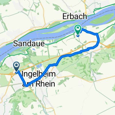
- Ingelheim, Rhineland-Palatinate, Germany
A cycling route starting in Ingelheim, Rhineland-Palatinate, Germany.
Overview
Start- & Zielort: Tor 1
Ingelheim - Gau-Algesheim - Appenheim - Nieder-Hilbersheim - Engelstadt - Jugenheim - Partenheim - Saulheim - Udenheim - Schornsheim - Undenheim - Köngernheim - Selzen - Mommenheim - Zornheim - Nieder-Olm - Stadecken-Elsheim - Schwabenheim - Groß-Winternheim - Ingelheim
Route quality
Road
10.2 km
16 %
Track
9.6 km
15 %
Paved
55.5 km
(87 %)
Unpaved
3.2 km
(5 %)
Asphalt
50.4 km
79 %
Paved (undefined)
3.2 km
5 %
Continue with Bikemap
You would like to ride 044c: Ingelheim - Partenheim - Undenheim - Mommenheim - Nieder-Olm - Ingelheim or customize it for your own trip? Here is what you can do with this Bikemap route:
Free trial for 3 days, or one-time payment. More about Bikemap Premium.
Discover more Premium features.
Get Bikemap PremiumFrom our community
Open it in the app