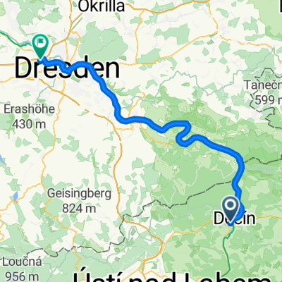
Polabí do Zámecká
- 18.2 km
- 97 m
- 105 m
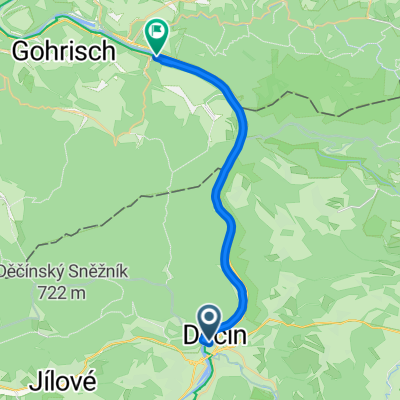
- Děčín, Ústecký kraj, Czechia
A cycling route starting in Děčín, Ústecký kraj, Czechia.
Overview
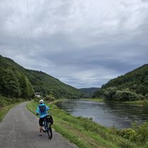
Challenging route for MTB, beautiful nature and great views, overnight stay at the Tisá tourist hut or under the open sky...
created this 14 years ago
Route quality
Road
85.9 km
(59 %)
Track
24.7 km
(17 %)
Paved
87.3 km
(60 %)
Unpaved
16 km
(11 %)
Asphalt
78.6 km
(54 %)
Paved (undefined)
8.7 km
(6 %)
Route highlights
Zde budeme spát...nebo až na Tisí
Nájezd na Krušnohorskou magistrálu...
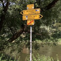
Děčínský sněžník..krásný výhled
Turistická chata Tisá..jídlo...
Zde opouštíme Krušnohorskou magistrálu...směr Cv
Continue with Bikemap
You would like to ride Děčín-Chomutov po magistrále or customize it for your own trip? Here is what you can do with this Bikemap route:
Free trial for 3 days, or one-time payment. More about Bikemap Premium.
Discover more Premium features.
Get Bikemap PremiumFrom our community
Open it in the app