Girolibero: Perigord per famiglie
- 75.5 km
- 1,020 m
- 979 m
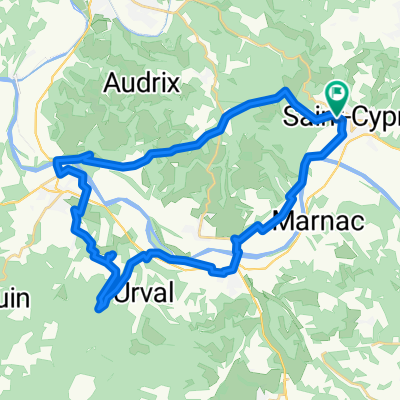
- Saint-Cyprien, Nouvelle-Aquitaine, France
A cycling route starting in Saint-Cyprien, Nouvelle-Aquitaine, France.
Overview
created this 14 years ago
Continue with Bikemap
You would like to ride Perigord 2 or customize it for your own trip? Here is what you can do with this Bikemap route:
Free trial for 3 days, or one-time payment. More about Bikemap Premium.
Discover more Premium features.
Get Bikemap PremiumFrom our community
Open it in the app