Mar y Tierra
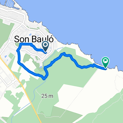
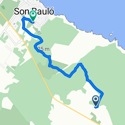
A cycling route starting in Santa Margalida, Balearic Islands, Spain.
Overview
About this route
Von C'an Picafort durch Alcudia zur ersten Plattform hoch Richtung Cap Formentor. Anschliessend an die Bucht Cala San Vincenc über Pollenca, "Maffay-Tal" und Sa Pobla zurück nach C'an Picafort. Strassen meistens recht gut, nur vor Sa Pobla etwa 4 km mit ziemlichen Schlaglöchern. Gemäss Garmin 500 Hm
- -:--
- Duration
- 85 km
- Distance
- 386 m
- Ascent
- 388 m
- Descent
- ---
- Avg. speed
- ---
- Avg. speed
Route quality
Waytypes & surfaces along the route
Waytypes
Quiet road
35.4 km
(42 %)
Busy road
20 km
(23 %)
Surfaces
Paved
73.1 km
(86 %)
Asphalt
70.8 km
(83 %)
Paving stones
2 km
(2 %)
Continue with Bikemap
Use, edit, or download this cycling route
You would like to ride Mar y Tierra or customize it for your own trip? Here is what you can do with this Bikemap route:
Free features
- Save this route as favorite or in collections
- Copy & plan your own version of this route
- Sync your route with Garmin or Wahoo
Premium features
Free trial for 3 days, or one-time payment. More about Bikemap Premium.
- Navigate this route on iOS & Android
- Export a GPX / KML file of this route
- Create your custom printout (try it for free)
- Download this route for offline navigation
Discover more Premium features.
Get Bikemap PremiumFrom our community
Other popular routes starting in Santa Margalida
- Mar y Tierra
- Distance
- 85 km
- Ascent
- 386 m
- Descent
- 388 m
- Location
- Santa Margalida, Balearic Islands, Spain
- Radtreffteam-Solingen Mallorca 2010 /Tag 3
- Distance
- 77.7 km
- Ascent
- 340 m
- Descent
- 340 m
- Location
- Santa Margalida, Balearic Islands, Spain
- Prolog Tag 1
- Distance
- 55.2 km
- Ascent
- 145 m
- Descent
- 146 m
- Location
- Santa Margalida, Balearic Islands, Spain
- Tag 7 - Mallorca 2016
- Distance
- 121.8 km
- Ascent
- 955 m
- Descent
- 954 m
- Location
- Santa Margalida, Balearic Islands, Spain
- Tag 5 Mallorca 2016
- Distance
- 103.2 km
- Ascent
- 826 m
- Descent
- 825 m
- Location
- Santa Margalida, Balearic Islands, Spain
- Can Picafort - Muro - Petra - Can Picafort
- Distance
- 54.9 km
- Ascent
- 301 m
- Descent
- 300 m
- Location
- Santa Margalida, Balearic Islands, Spain
- Manacor Petra Wellblech
- Distance
- 75.6 km
- Ascent
- 701 m
- Descent
- 704 m
- Location
- Santa Margalida, Balearic Islands, Spain
- Wellblechtour
- Distance
- 79.7 km
- Ascent
- 0 m
- Descent
- 0 m
- Location
- Santa Margalida, Balearic Islands, Spain