

N P Orne
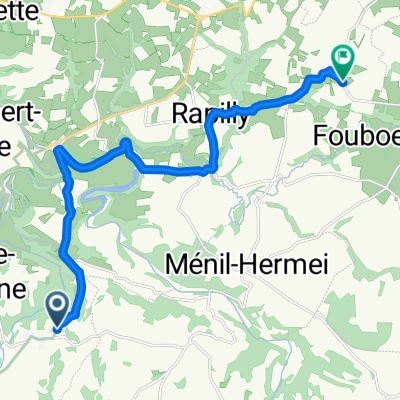
A cycling route starting in Pont-Écrepin, Normandy, France.
Overview
About this route
- -:--
- Duration
- 51.2 km
- Distance
- 679 m
- Ascent
- 679 m
- Descent
- ---
- Avg. speed
- ---
- Max. altitude
Continue with Bikemap
Use, edit, or download this cycling route
You would like to ride N P Orne or customize it for your own trip? Here is what you can do with this Bikemap route:
Free features
- Save this route as favorite or in collections
- Copy & plan your own version of this route
- Sync your route with Garmin or Wahoo
Premium features
Free trial for 3 days, or one-time payment. More about Bikemap Premium.
- Navigate this route on iOS & Android
- Export a GPX / KML file of this route
- Create your custom printout (try it for free)
- Download this route for offline navigation
Discover more Premium features.
Get Bikemap PremiumFrom our community
Other popular routes starting in Pont-Écrepin
 De D301, Saint-Philbert-sur-Orne à Boulevard de la Noë, Pont-d'Ouilly
- Distance
- 6.7 km
- Ascent
- 42 m
- Descent
- 149 m
- Location
- Pont-Écrepin, Normandy, France
 Day40
Day40- Distance
- 40.4 km
- Ascent
- 600 m
- Descent
- 602 m
- Location
- Pont-Écrepin, Normandy, France
 La Fresnaye-au-Sauvage, Putanges-le-Lac à Route de Vauquelin, Putanges-le-Lac
- Distance
- 3 km
- Ascent
- 4 m
- Descent
- 35 m
- Location
- Pont-Écrepin, Normandy, France
 N P Orne
- Distance
- 51.2 km
- Ascent
- 679 m
- Descent
- 679 m
- Location
- Pont-Écrepin, Normandy, France
 105 km Depart Putanges
- Distance
- 116 km
- Ascent
- 701 m
- Descent
- 694 m
- Location
- Pont-Écrepin, Normandy, France
 N P Orne groß
- Distance
- 67.1 km
- Ascent
- 810 m
- Descent
- 807 m
- Location
- Pont-Écrepin, Normandy, France
 Rue des Granitiers, Athis-Val de Rouvre to Route de Fourneaux, Les Loges-Saulces
- Distance
- 14.1 km
- Ascent
- 315 m
- Descent
- 278 m
- Location
- Pont-Écrepin, Normandy, France
 116 km Putanges
- Distance
- 116.4 km
- Ascent
- 859 m
- Descent
- 857 m
- Location
- Pont-Écrepin, Normandy, France
Open it in the app