2011.04.16
- 113.9 km
- 886 m
- 830 m
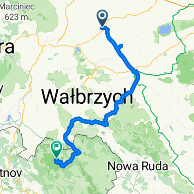
- Strzegom, Lower Silesian Voivodeship, Poland
A cycling route starting in Strzegom, Lower Silesian Voivodeship, Poland.
Overview
created this 14 years ago
Route highlights
miejsce spotkania z narwaniec, bix, gagarin
kolejna czesc ekipy dołączyła do nas w Bystrzycy Górnej, aamarcin, Łukasz, Marta
Continue with Bikemap
You would like to ride strzegom-Teplicke Skaly or customize it for your own trip? Here is what you can do with this Bikemap route:
Free trial for 3 days, or one-time payment. More about Bikemap Premium.
Discover more Premium features.
Get Bikemap PremiumFrom our community
Open it in the app