

Beaujolais Ouest
A cycling route starting in Amplepuis, Auvergne-Rhône-Alpes, France.
Overview
About this route
Vaise-Amplepuis Chauffailles-Vaise
- -:--
- Duration
- 83.2 km
- Distance
- 1,387 m
- Ascent
- 1,380 m
- Descent
- ---
- Avg. speed
- ---
- Max. altitude
Route quality
Waytypes & surfaces along the route
Waytypes
Road
38.3 km
(46 %)
Quiet road
14.2 km
(17 %)
Surfaces
Paved
6.7 km
(8 %)
Asphalt
6.7 km
(8 %)
Undefined
76.6 km
(92 %)
Route highlights
Points of interest along the route
Point of interest after 7.5 km
Col de Treuil
Point of interest after 13.3 km
Col de Sabatin
Point of interest after 22.1 km
Col Burdel
Point of interest after 34.1 km
Col du Pavillon
Point of interest after 42.4 km
Col de la Croix Couverte
Point of interest after 48.7 km
Col de la Bûche
Point of interest after 67.8 km
Col de Dun
Point of interest after 74.3 km
Col de la Cépée
Continue with Bikemap
Use, edit, or download this cycling route
You would like to ride Beaujolais Ouest or customize it for your own trip? Here is what you can do with this Bikemap route:
Free features
- Save this route as favorite or in collections
- Copy & plan your own version of this route
- Split it into stages to create a multi-day tour
- Sync your route with Garmin or Wahoo
Premium features
Free trial for 3 days, or one-time payment. More about Bikemap Premium.
- Navigate this route on iOS & Android
- Export a GPX / KML file of this route
- Create your custom printout (try it for free)
- Download this route for offline navigation
Discover more Premium features.
Get Bikemap PremiumFrom our community
Other popular routes starting in Amplepuis
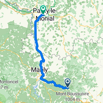 Amplepuis - Paray-le-Monial
- Distance
- 84.4 km
- Ascent
- 633 m
- Descent
- 824 m
- Location
- Amplepuis, Auvergne-Rhône-Alpes, France
 De Place Général de Gaulle 1, Amplepuis à D58, Thizy-les-Bourgs
- Distance
- 13.8 km
- Ascent
- 249 m
- Descent
- 224 m
- Location
- Amplepuis, Auvergne-Rhône-Alpes, France
 boulot
- Distance
- 159.8 km
- Ascent
- 1,400 m
- Descent
- 1,400 m
- Location
- Amplepuis, Auvergne-Rhône-Alpes, France
 dimanche 15 octobre
- Distance
- 59.1 km
- Ascent
- 697 m
- Descent
- 700 m
- Location
- Amplepuis, Auvergne-Rhône-Alpes, France
 nioules vers maison
- Distance
- 52.9 km
- Ascent
- 304 m
- Descent
- 906 m
- Location
- Amplepuis, Auvergne-Rhône-Alpes, France
 hbvvvhhh
- Distance
- 17.3 km
- Ascent
- 322 m
- Descent
- 508 m
- Location
- Amplepuis, Auvergne-Rhône-Alpes, France
 Beaujolais Ouest
- Distance
- 83.2 km
- Ascent
- 1,387 m
- Descent
- 1,380 m
- Location
- Amplepuis, Auvergne-Rhône-Alpes, France
 Recovered Route
- Distance
- 35.6 km
- Ascent
- 354 m
- Descent
- 698 m
- Location
- Amplepuis, Auvergne-Rhône-Alpes, France
Open it in the app