
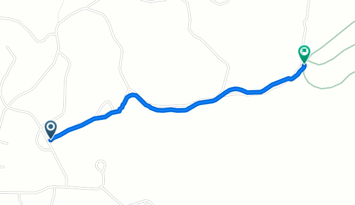
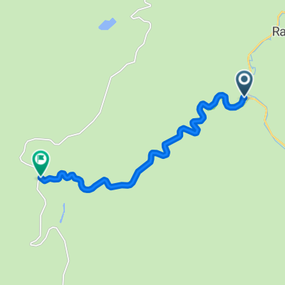
21280 Rubys Way, Lead to George Mickelson Trail, Lead
A cycling route starting in Lead, South Dakota, United States.
Overview
About this route
- 9 min
- Duration
- 1.4 km
- Distance
- 0 m
- Ascent
- 80 m
- Descent
- 9 km/h
- Avg. speed
- ---
- Max. altitude

Route quality
Waytypes & surfaces along the route
Waytypes
Track
1 km
(76 %)
Quiet road
0.3 km
(24 %)
Surfaces
Unpaved
0.9 km
(66 %)
Unpaved (undefined)
0.9 km
(66 %)
Undefined
0.5 km
(34 %)
Continue with Bikemap
Use, edit, or download this cycling route
You would like to ride 21280 Rubys Way, Lead to George Mickelson Trail, Lead or customize it for your own trip? Here is what you can do with this Bikemap route:
Free features
- Save this route as favorite or in collections
- Copy & plan your own version of this route
- Sync your route with Garmin or Wahoo
Premium features
Free trial for 3 days, or one-time payment. More about Bikemap Premium.
- Navigate this route on iOS & Android
- Export a GPX / KML file of this route
- Create your custom printout (try it for free)
- Download this route for offline navigation
Discover more Premium features.
Get Bikemap PremiumFrom our community
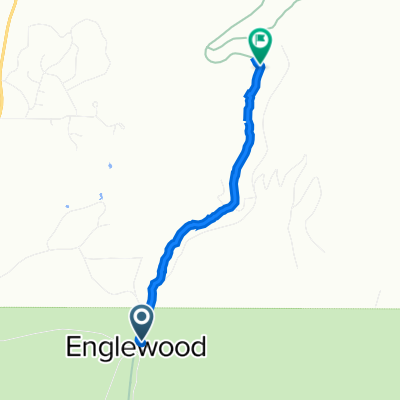
Other popular routes starting in Lead
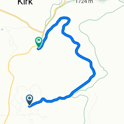
 Slow ride
- Distance
- 3.2 km
- Ascent
- 16 m
- Descent
- 23 m
- Location
- Lead, South Dakota, United States
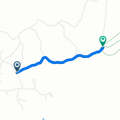 21280 Rubys Way, Lead to George Mickelson Trail, Lead
- Distance
- 1.4 km
- Ascent
- 0 m
- Descent
- 80 m
- Location
- Lead, South Dakota, United States
 Recovered Route
- Distance
- 1.3 km
- Ascent
- 193 m
- Descent
- 21 m
- Location
- Lead, South Dakota, United States
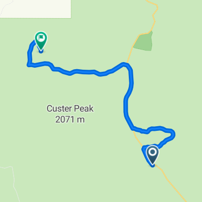
 Roughlock Falls Road DAY 1 (CLIMB 2)
- Distance
- 9.4 km
- Ascent
- 673 m
- Descent
- 436 m
- Location
- Lead, South Dakota, United States
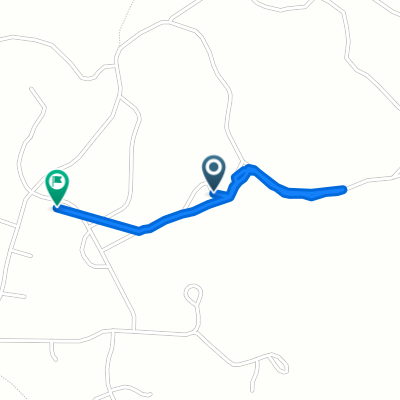
 21280 Rubys Way, Lead to George Mickelson Trail, Lead
- Distance
- 5.8 km
- Ascent
- 561 m
- Descent
- 695 m
- Location
- Lead, South Dakota, United States
 Savoy to Deadwood
- Distance
- 28.8 km
- Ascent
- 769 m
- Descent
- 907 m
- Location
- Lead, South Dakota, United States
 Roubaix
- Distance
- 17.5 km
- Ascent
- 293 m
- Descent
- 182 m
- Location
- Lead, South Dakota, United States
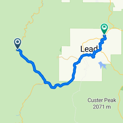
 Mickelson Day 2
- Distance
- 73 km
- Ascent
- 519 m
- Descent
- 667 m
- Location
- Lead, South Dakota, United States
Open it in the app