

MTB Tour vom Hotel Schäfle auf den Ardetzenberg
- 4.4 km
- 168 m
- 55 m
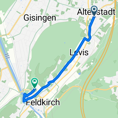
- Rankweil, Vorarlberg, Austria
A cycling route starting in Rankweil, Vorarlberg, Austria.
Overview
From the RFL to GH Sümmerle in Rankweil
created this 14 years ago
Route quality
Quiet road
2.7 km
(29 %)
Path
2.3 km
(25 %)
Paved
9 km
(97 %)
Unpaved
0.3 km
(3 %)
Asphalt
9 km
(97 %)
Gravel
0.3 km
(3 %)
Route highlights
Endziel-GH Sümmerle
Continue with Bikemap
You would like to ride Teil Radausflug 2011 or customize it for your own trip? Here is what you can do with this Bikemap route:
Free trial for 3 days, or one-time payment. More about Bikemap Premium.
Discover more Premium features.
Get Bikemap PremiumFrom our community
Open it in the app


