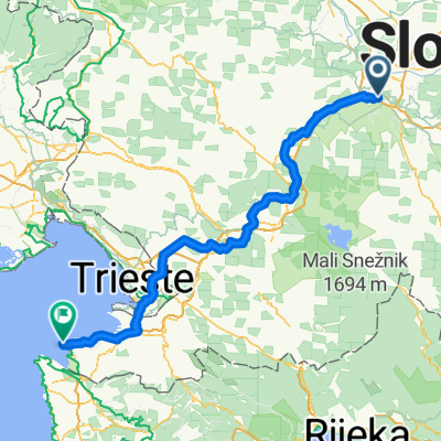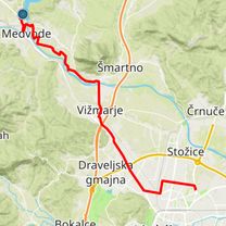
Zaloška cesta, Ljubljana to Tušev Dol, Črnomelj
- 97.3 km
- 1,173 m
- 1,256 m
- Ljubljana, Ljubljana, Slovenia
A cycling route starting in Ljubljana, Ljubljana, Slovenia.
Overview
Trajanje: 3 ure
Kondicijska zahtevnost: Srednja.
Tehnična zahtevnost: Lahka.
Prevoznost: Trasa je prevozna v vseh letnih časih. Na odseku Bokalce – preval nad Podutikom je v mokrem precej blatna.
Podlaga: Asfalt, makadam, kolovoz.
Markiranost trase: Delno.
created this 4 years ago
Route quality
Quiet road
12.5 km
(48 %)
Track
4.7 km
(18 %)
Paved
12.5 km
(48 %)
Unpaved
12.2 km
(47 %)
Asphalt
11.9 km
(46 %)
Gravel
8.3 km
(32 %)
Route highlights
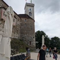
Kontrolna točka #1 (Ljubljanski grad)
Kontrolna točka #2 (Sv. Jakob nad Medvodami)
Kontrolna točka #3 (Mihelčičev dom na Govejku)
Continue with Bikemap
You would like to ride STKP 01: Ljubljana – Mihelčičev dom na Govejku or customize it for your own trip? Here is what you can do with this Bikemap route:
Free trial for 3 days, or one-time payment. More about Bikemap Premium.
Discover more Premium features.
Get Bikemap PremiumFrom our community
Open it in the app