Test Ardeche
- 85.6 km
- 1,239 m
- 1,265 m
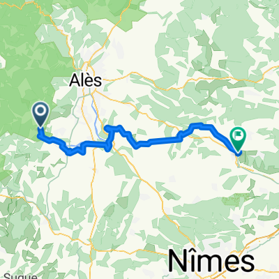
- Anduze, Occitanie, France
A cycling route starting in Anduze, Occitanie, France.
Overview
Bike tour Anduze - St. Jean du Gard - Corniche des Cevennes - Vallée Francaise - Anduze via Col St. Pierre - Col de l'Exil - Col de - Col de Re
In Anduze, take the D 907 towards St. Jean du Gard - l'Estrechure until the turnoff for Florac par la Corniche (195m). There take the D 260 towards Florac / Le Pompidou. The climb begins immediately to Col de St. Pierre (596m) and then on to Col de l'Exil (705m) (unfortunately the small restaurant at the pass no longer exists) onto the Corniche des Cévennes. From Col de St. Pierre it is the D 9. Continue on the D 9 towards St. Roman de Tousque at almost the same elevation. From St Roman de Tousque, follow the D 9, temporarily reaching 882m, down to Le Pompidou at an elevation of 772m. Magnificent views of the Vallée Francaise make up for the effort. In Le Pompidou, continue straight after having had a café crème or juice at the cafe and prepared yourself for the next section. Madame is also happy to refill water bottles.
Directly behind the cafe, continuing towards Florac (D 9), begins what I call "The Wall". Gradients up to 12% up to an elevation of 1050 meters. The area is wonderful and the view indescribable - if you make it to the top :-). On the Corniche (two passes are signposted but not prominent; Col de Solpérière (1010m) and Col des Faisses (1010m)) continue on the D9 to the junction Barre des Cévennes. Over the Col du Rey (987m) take the D983 downhill through Barre des Cévennes - Ste-Croix-Vallée-Francaise until just before St. Etienne Vallée-Francaise. The valley is dreamy; you basically follow the upper course of the Gardon and it feels like travelling back in time when you see the buildings. At the junction St. Etienne Vallée-Francaise, turn right onto the D 983 towards St. Jean du Gard. In St. Jean, I went straight ahead to the station and returned parallel to the D 907 towards Anduze.
Basically, it is a circular route around St. Jean du Gard.
Map 2740 ET and 2741 ET
NOTE: The D9 is a racing track for motorcyclists on weekends!!
created this 14 years ago
Route quality
Road
27.4 km
(27 %)
Track
4.1 km
(4 %)
Paved
65.9 km
(65 %)
Unpaved
4.1 km
(4 %)
Asphalt
65.9 km
(65 %)
Gravel
4.1 km
(4 %)
Undefined
31.4 km
(31 %)
Continue with Bikemap
You would like to ride Corniche des Cevennes - Vallée Francaise or customize it for your own trip? Here is what you can do with this Bikemap route:
Free trial for 3 days, or one-time payment. More about Bikemap Premium.
Discover more Premium features.
Get Bikemap PremiumFrom our community
Open it in the app