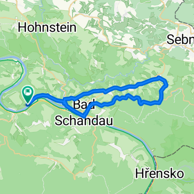
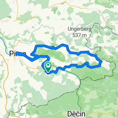
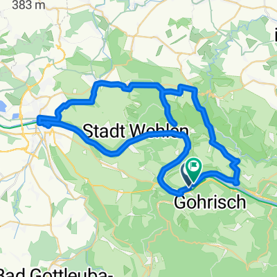
ERW2: Königstein Bahnhof-Elbradweg-Meißen Bhf.
- 65.7 km
- 1,226 m
- 1,238 m
- Königstein, Saxony, Germany
A cycling route starting in Königstein, Saxony, Germany.
Overview
created this 4 years ago


Route quality
Path
23.7 km
36 %
Quiet road
17.7 km
27 %
Paved
60.4 km
(92 %)
Unpaved
0.7 km
(1 %)
Asphalt
59.8 km
91 %
Concrete
0.7 km
1 %
Continue with Bikemap
You would like to ride ERW2: Königstein Bahnhof-Elbradweg-Meißen Bhf. or customize it for your own trip? Here is what you can do with this Bikemap route:
Free trial for 3 days, or one-time payment. More about Bikemap Premium.
Discover more Premium features.
Get Bikemap PremiumFrom our community
Open it in the app