Lagmansgatan 10, Mjölby to Sparregatan 2, Mjölby
- 4.2 km
- 39 m
- 36 m
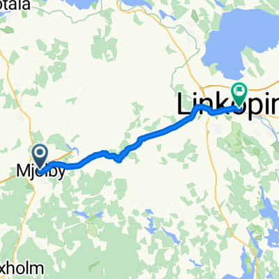
- Mjölby, Östergötland County, Sweden
Path
22.5 km64 %Road
7 km20 %Paved
34.8 km(99 %)Asphalt
33.1 km94 %Paved (undefined)
1.4 km4 %Free trial for 3 days, or one-time payment. More about Bikemap Premium.
Discover more Premium features.
Get Bikemap PremiumOpen it in the app