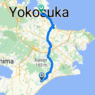
南下浦町上宮田3350, 三浦市 to 馬堀海岸2丁目27-2, 横須賀市
- 21.2 km
- 168 m
- 172 m
- Miura, Kanagawa, Japan
A cycling route starting in Miura, Kanagawa, Japan.
Overview
created this 4 years ago
Route quality
Road
21.6 km
(25 %)
Quiet road
21.6 km
(25 %)
Paved
35.4 km
(41 %)
Paved (undefined)
25 km
(29 %)
Asphalt
10.4 km
(12 %)
Undefined
50.9 km
(59 %)
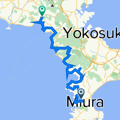
Route highlights
マグロの像
荒崎公園
マイルストーン
マイルストーンたたら浜
マイルストーン
Continue with Bikemap
You would like to ride 三浦うみかぜ起点 or customize it for your own trip? Here is what you can do with this Bikemap route:
Free trial for 3 days, or one-time payment. More about Bikemap Premium.
Discover more Premium features.
Get Bikemap PremiumFrom our community
Open it in the app