

Ketti-Luca
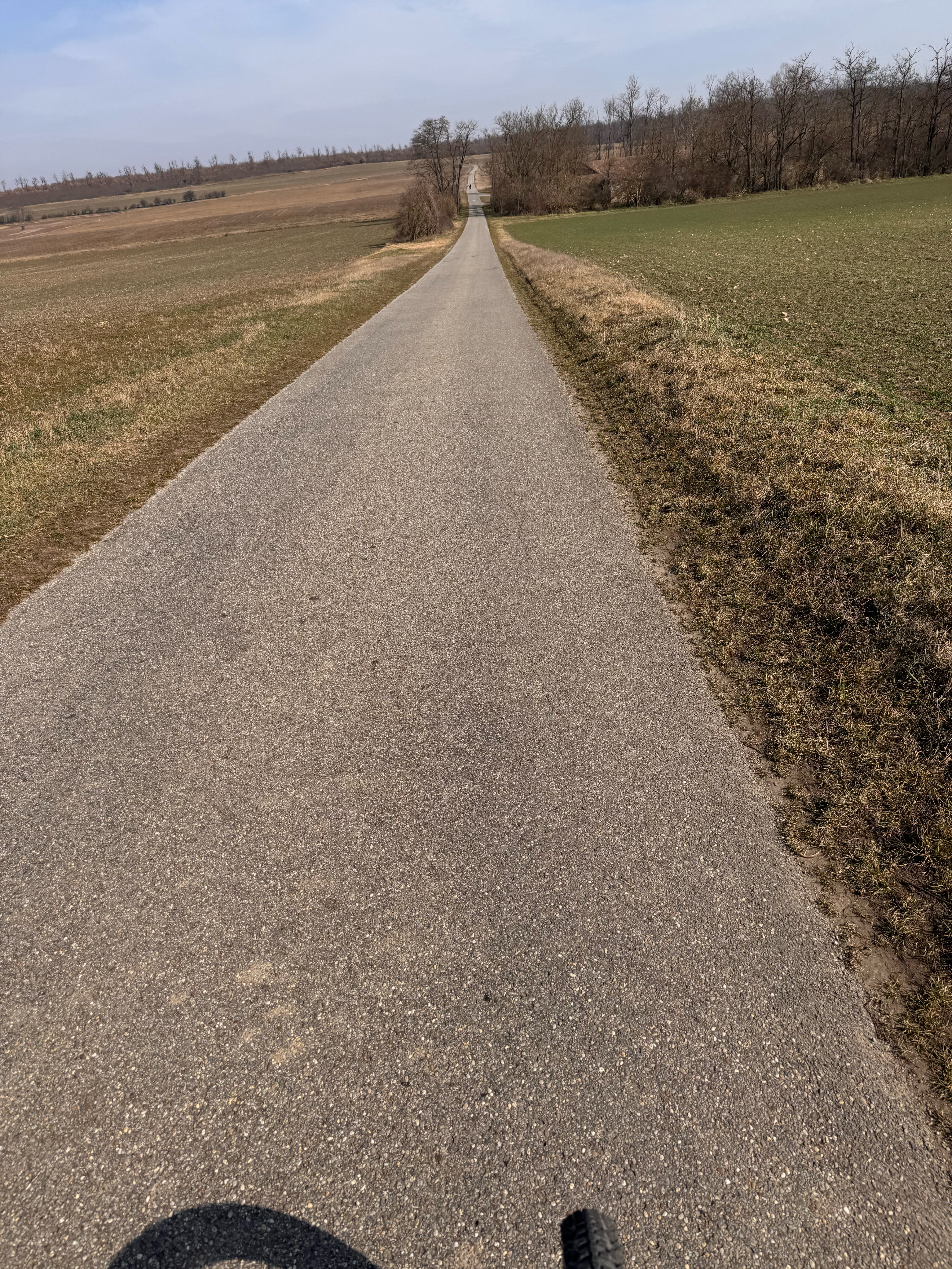
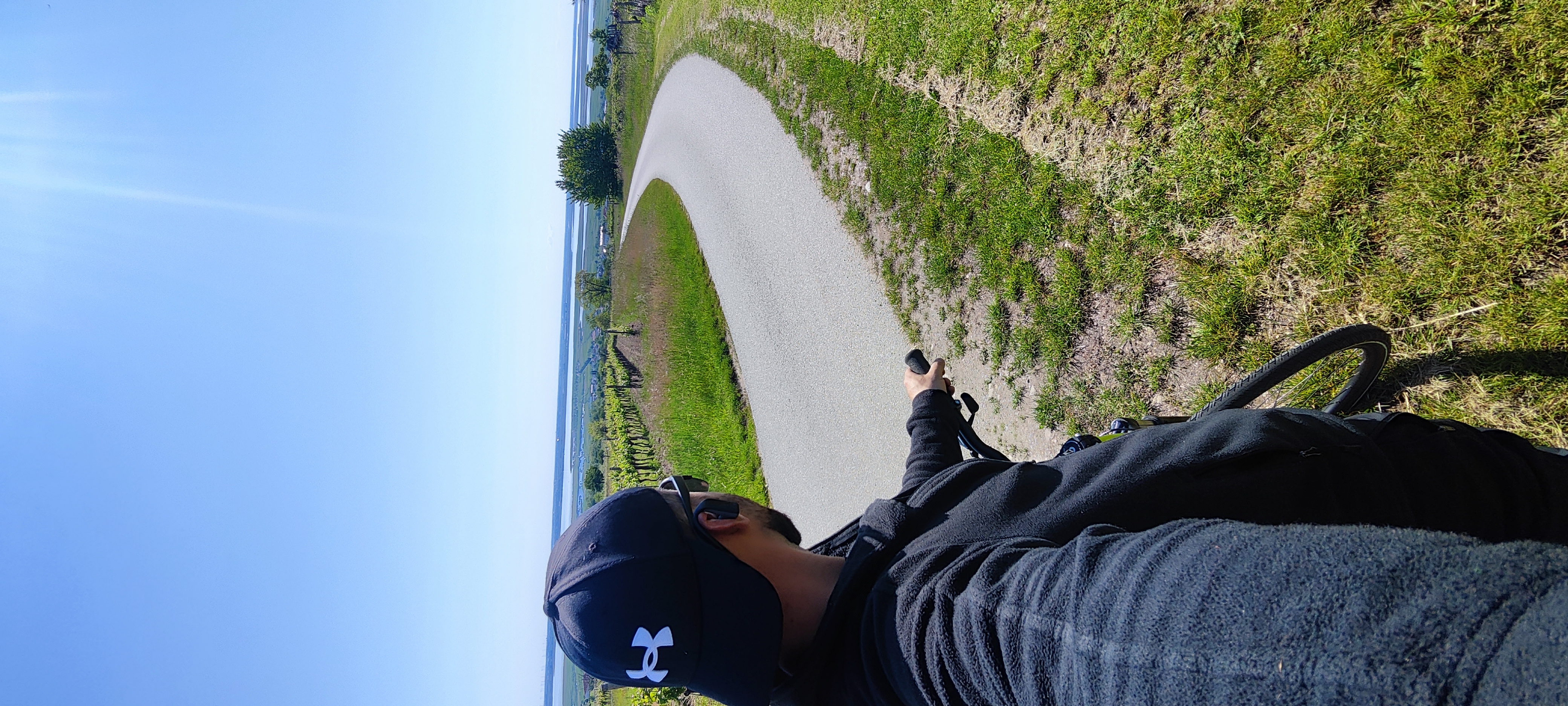
A cycling route starting in Sopron, Győr-Moson-Sopron, Hungary.
Overview
About this route
- -:--
- Duration
- 43.3 km
- Distance
- 252 m
- Ascent
- 169 m
- Descent
- ---
- Avg. speed
- ---
- Max. altitude
Route quality
Waytypes & surfaces along the route
Waytypes
Road
11.7 km
(27 %)
Quiet road
7.8 km
(18 %)
Surfaces
Paved
36.4 km
(84 %)
Asphalt
35.9 km
(83 %)
Paved (undefined)
0.4 km
(1 %)
Undefined
6.9 km
(16 %)
Continue with Bikemap
Use, edit, or download this cycling route
You would like to ride Ketti-Luca or customize it for your own trip? Here is what you can do with this Bikemap route:
Free features
- Save this route as favorite or in collections
- Copy & plan your own version of this route
- Sync your route with Garmin or Wahoo
Premium features
Free trial for 3 days, or one-time payment. More about Bikemap Premium.
- Navigate this route on iOS & Android
- Export a GPX / KML file of this route
- Create your custom printout (try it for free)
- Download this route for offline navigation
Discover more Premium features.
Get Bikemap PremiumFrom our community
Other popular routes starting in Sopron
 Sopron - Schwarzenbach szerpentin
- Distance
- 72.2 km
- Ascent
- 991 m
- Descent
- 990 m
- Location
- Sopron, Győr-Moson-Sopron, Hungary
 Soproni-hegységi Kék
- Distance
- 28.7 km
- Ascent
- 544 m
- Descent
- 542 m
- Location
- Sopron, Győr-Moson-Sopron, Hungary
 Rosalia-Tour
- Distance
- 73.2 km
- Ascent
- 673 m
- Descent
- 672 m
- Location
- Sopron, Győr-Moson-Sopron, Hungary
 Sopron-Bécs
- Distance
- 65.9 km
- Ascent
- 260 m
- Descent
- 294 m
- Location
- Sopron, Győr-Moson-Sopron, Hungary
 Lange Ausfahrt durch Ödenburg
- Distance
- 43.8 km
- Ascent
- 304 m
- Descent
- 307 m
- Location
- Sopron, Győr-Moson-Sopron, Hungary
 Felvétel az Apple Watch-on keresztül márc. 09. 12:17
- Distance
- 55.7 km
- Ascent
- 942 m
- Descent
- 940 m
- Location
- Sopron, Győr-Moson-Sopron, Hungary
 Mörbisch
- Distance
- 34.3 km
- Ascent
- 284 m
- Descent
- 329 m
- Location
- Sopron, Győr-Moson-Sopron, Hungary
 Im Soproner Gebirge
- Distance
- 61.4 km
- Ascent
- 805 m
- Descent
- 806 m
- Location
- Sopron, Győr-Moson-Sopron, Hungary
Open it in the app