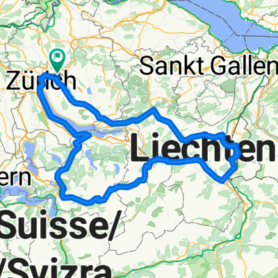
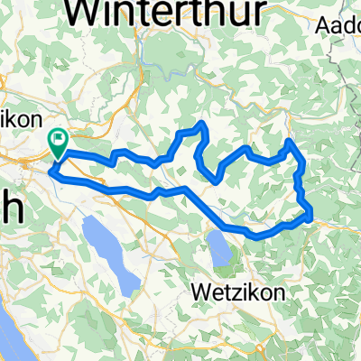
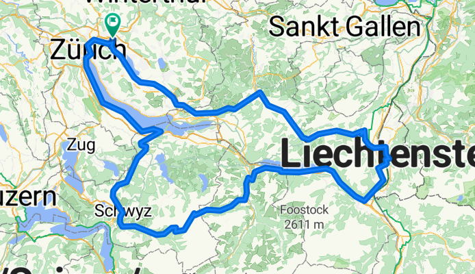
T101-103 - Dubendorf - PragelPass
A cycling route starting in Dübendorf / Kunklerstrasse, Canton of Zurich, Switzerland.
Overview
About this route
- -:--
- Duration
- 277.5 km
- Distance
- 2,728 m
- Ascent
- 2,727 m
- Descent
- ---
- Avg. speed
- ---
- Avg. speed
Route quality
Waytypes & surfaces along the route
Waytypes
Busy road
154.8 km
(56 %)
Road
49.8 km
(18 %)
Surfaces
Paved
254.3 km
(92 %)
Unpaved
4.1 km
(1 %)
Asphalt
251.8 km
(91 %)
Loose gravel
3.7 km
(1 %)
Continue with Bikemap
Use, edit, or download this cycling route
You would like to ride T101-103 - Dubendorf - PragelPass or customize it for your own trip? Here is what you can do with this Bikemap route:
Free features
- Save this route as favorite or in collections
- Copy & plan your own version of this route
- Sync your route with Garmin or Wahoo
Premium features
Free trial for 3 days, or one-time payment. More about Bikemap Premium.
- Navigate this route on iOS & Android
- Export a GPX / KML file of this route
- Create your custom printout (try it for free)
- Download this route for offline navigation
Discover more Premium features.
Get Bikemap PremiumFrom our community
Other popular routes starting in Dübendorf / Kunklerstrasse
- Dübi - Bubikon - Dübi
- Distance
- 54.2 km
- Ascent
- 213 m
- Descent
- 212 m
- Location
- Dübendorf / Kunklerstrasse, Canton of Zurich, Switzerland
- Dübendorf - Bauma
- Distance
- 54.9 km
- Ascent
- 600 m
- Descent
- 603 m
- Location
- Dübendorf / Kunklerstrasse, Canton of Zurich, Switzerland
- High-Speed-Strecke
- Distance
- 29.4 km
- Ascent
- 89 m
- Descent
- 82 m
- Location
- Dübendorf / Kunklerstrasse, Canton of Zurich, Switzerland
- T101-103 - Dubendorf - PragelPass
- Distance
- 277.5 km
- Ascent
- 2,728 m
- Descent
- 2,727 m
- Location
- Dübendorf / Kunklerstrasse, Canton of Zurich, Switzerland
- rund um den greifensee
- Distance
- 34.5 km
- Ascent
- 338 m
- Descent
- 338 m
- Location
- Dübendorf / Kunklerstrasse, Canton of Zurich, Switzerland
- Felder Wangen
- Distance
- 8.9 km
- Ascent
- 103 m
- Descent
- 94 m
- Location
- Dübendorf / Kunklerstrasse, Canton of Zurich, Switzerland
- Rechweg 18, Dübendorf to Kronenweg 2–16, Forch
- Distance
- 10.6 km
- Ascent
- 326 m
- Descent
- 73 m
- Location
- Dübendorf / Kunklerstrasse, Canton of Zurich, Switzerland
- IWRY. Stage 3. Duebendorf - Renens (part 1)
- Distance
- 147.2 km
- Ascent
- 1,139 m
- Descent
- 1,021 m
- Location
- Dübendorf / Kunklerstrasse, Canton of Zurich, Switzerland
Open it in the app