

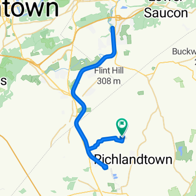
PA400k - Blue Mt
A cycling route starting in Richlandtown, Pennsylvania, United States.
Overview
About this route
- -:--
- Duration
- 401.3 km
- Distance
- 1,119 m
- Ascent
- 1,119 m
- Descent
- ---
- Avg. speed
- ---
- Max. altitude

Route quality
Waytypes & surfaces along the route
Waytypes
Road
157.3 km
(39 %)
Quiet road
150.2 km
(37 %)
Surfaces
Paved
72.7 km
(18 %)
Unpaved
3 km
(<1 %)
Asphalt
69.5 km
(17 %)
Gravel
3 km
(<1 %)
Route highlights
Points of interest along the route
Point of interest after 68.7 km
Controle 2 Pertro Mart (610) 863-4107 404 Lehigh St / Rt 512, Wind Gap, PA open: 04/30 07:05 close: 04/30 09:44
Point of interest after 132.1 km
Controle 3 Blondies Inc (570) 386-4104 1815 W Penn Pike / Rt 309, New Ringgold, PA open: 04/30 08:53 close: 04/30 13:48
Point of interest after 218.4 km
Controle 4 Hess Mini Mart (717) 865-2142 1 Lickdale Rd, Jonestown, PA open: 04/30 11:25 close: 04/30 19:28
Point of interest after 280.9 km
Controle 5 Turkey Hill Store (717) 656-4557 14 N State St, Brownstown, PA open: 04/30 13:27 close: 04/30 23:48
Point of interest after 354.1 km
Controle 6 WaWa (610) 495-4735 579 North Lewis Rd, Limerick, PA open: 04/30 15:38 close: 05/01 04:28
Continue with Bikemap
Use, edit, or download this cycling route
You would like to ride PA400k - Blue Mt or customize it for your own trip? Here is what you can do with this Bikemap route:
Free features
- Save this route as favorite or in collections
- Copy & plan your own version of this route
- Split it into stages to create a multi-day tour
- Sync your route with Garmin or Wahoo
Premium features
Free trial for 3 days, or one-time payment. More about Bikemap Premium.
- Navigate this route on iOS & Android
- Export a GPX / KML file of this route
- Create your custom printout (try it for free)
- Download this route for offline navigation
Discover more Premium features.
Get Bikemap PremiumFrom our community
Other popular routes starting in Richlandtown
 PA400k - Blue Mt
- Distance
- 401.3 km
- Ascent
- 1,119 m
- Descent
- 1,119 m
- Location
- Richlandtown, Pennsylvania, United States
 Veteran's Park To Jim Thorpe (Via Saucon Rail, D&L Trail)
- Distance
- 81.2 km
- Ascent
- 216 m
- Descent
- 209 m
- Location
- Richlandtown, Pennsylvania, United States
 Keystone Rd, Quakertown to Keystone Rd, Quakertown
- Distance
- 44.8 km
- Ascent
- 255 m
- Descent
- 257 m
- Location
- Richlandtown, Pennsylvania, United States
 Nockamixon to Lansdale!
- Distance
- 38.3 km
- Ascent
- 263 m
- Descent
- 325 m
- Location
- Richlandtown, Pennsylvania, United States
 bike tour through Richland
- Distance
- 22.8 km
- Ascent
- 150 m
- Descent
- 150 m
- Location
- Richlandtown, Pennsylvania, United States
 PA200k Water Gap
- Distance
- 206.3 km
- Ascent
- 733 m
- Descent
- 733 m
- Location
- Richlandtown, Pennsylvania, United States
 bike tour through Richland
- Distance
- 29.3 km
- Ascent
- 241 m
- Descent
- 238 m
- Location
- Richlandtown, Pennsylvania, United States
 PA200k-New Holland
- Distance
- 202 km
- Ascent
- 641 m
- Descent
- 641 m
- Location
- Richlandtown, Pennsylvania, United States
Open it in the app