
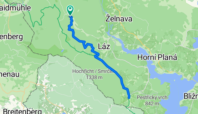
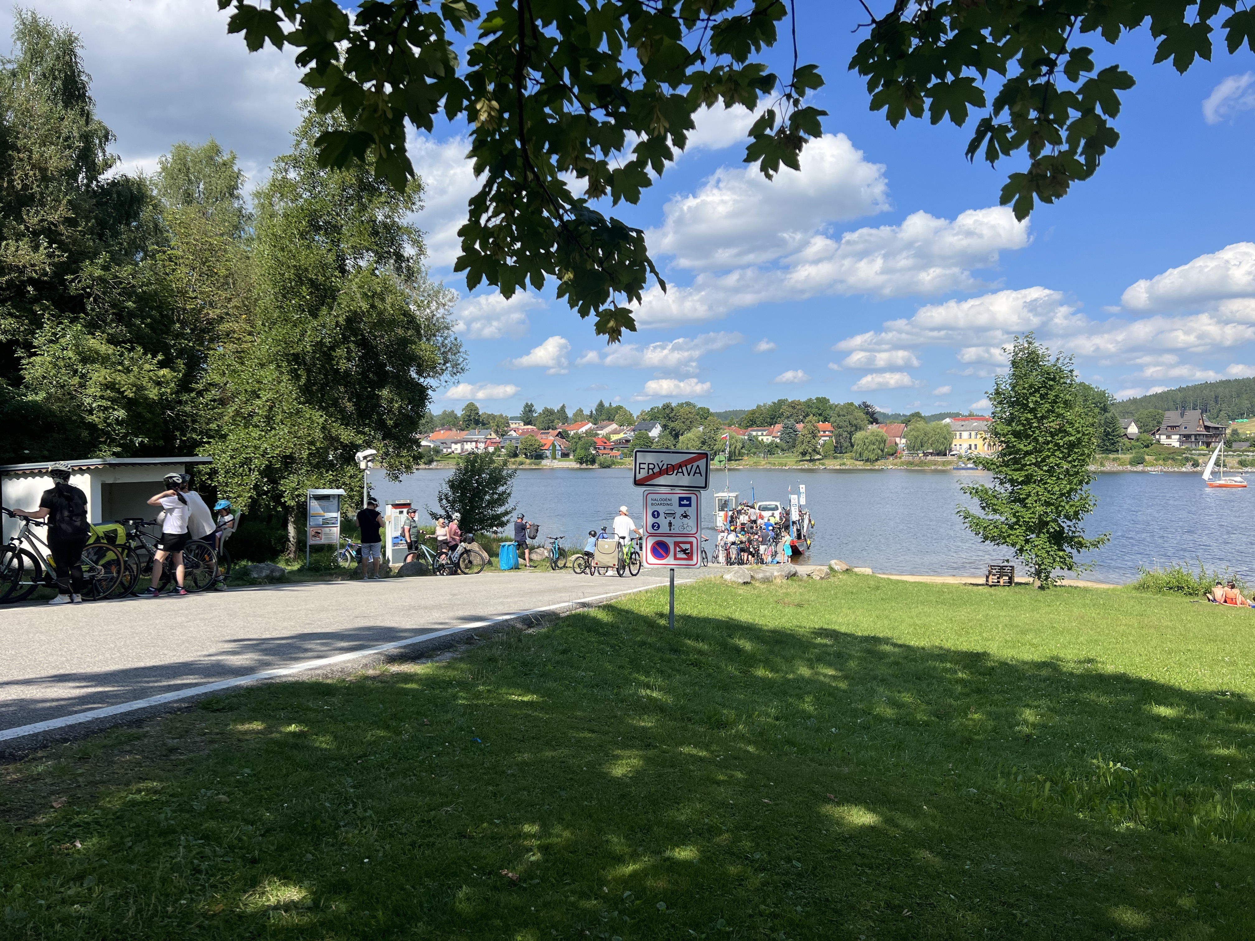
Cyklotrasy 050 - Šumava, Schwarzenberský kanál 2
A cycling route starting in Volary, Jihočeský kraj, Czechia.
Overview
About this route
- -:--
- Duration
- 34.7 km
- Distance
- 313 m
- Ascent
- 309 m
- Descent
- ---
- Avg. speed
- 893 m
- Max. altitude

Route quality
Waytypes & surfaces along the route
Waytypes
Track
31.9 km
(92 %)
Access road
1.7 km
(5 %)
Quiet road
1 km
(3 %)
Surfaces
Paved
28.8 km
(83 %)
Unpaved
5.2 km
(15 %)
Paved (undefined)
22.2 km
(64 %)
Asphalt
6.6 km
(19 %)
Continue with Bikemap
Use, edit, or download this cycling route
You would like to ride Cyklotrasy 050 - Šumava, Schwarzenberský kanál 2 or customize it for your own trip? Here is what you can do with this Bikemap route:
Free features
- Save this route as favorite or in collections
- Copy & plan your own version of this route
- Sync your route with Garmin or Wahoo
Premium features
Free trial for 3 days, or one-time payment. More about Bikemap Premium.
- Navigate this route on iOS & Android
- Export a GPX / KML file of this route
- Create your custom printout (try it for free)
- Download this route for offline navigation
Discover more Premium features.
Get Bikemap PremiumFrom our community
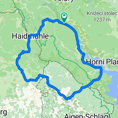
Other popular routes starting in Volary
 GT2-4 Haidmühle-Frauenau
- Distance
- 90.7 km
- Ascent
- 1,194 m
- Descent
- 1,384 m
- Location
- Volary, Jihočeský kraj, Czechia
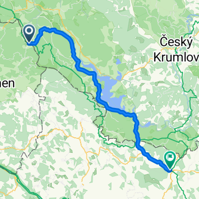
 2010 Stocek-St. Oswald Furtmühle
- Distance
- 49.9 km
- Ascent
- 236 m
- Descent
- 493 m
- Location
- Volary, Jihočeský kraj, Czechia
 VOLARY NACH NOVA PEC Ξ CZ
- Distance
- 19.6 km
- Ascent
- 257 m
- Descent
- 255 m
- Location
- Volary, Jihočeský kraj, Czechia
 Volary_Volary
- Distance
- 61.4 km
- Ascent
- 781 m
- Descent
- 755 m
- Location
- Volary, Jihočeský kraj, Czechia
 Dreisessel-Sieglmühle
- Distance
- 25.4 km
- Ascent
- 332 m
- Descent
- 980 m
- Location
- Volary, Jihočeský kraj, Czechia
 19.7.Horni Vltavice-Lenora-Stozec-Nova Pec Lionel-Vyssi brod 4,56hod-17,5km/hod-65,9max-
- Distance
- 87.8 km
- Ascent
- 935 m
- Descent
- 1,159 m
- Location
- Volary, Jihočeský kraj, Czechia
 přez 3 státy
- Distance
- 72.8 km
- Ascent
- 1,160 m
- Descent
- 1,110 m
- Location
- Volary, Jihočeský kraj, Czechia
 Untitled route
- Distance
- 71 km
- Ascent
- 1,143 m
- Descent
- 1,216 m
- Location
- Volary, Jihočeský kraj, Czechia
Open it in the app