

Dom Pérignon
A cycling route starting in Magenta, Grand Est, France.
Overview
About this route
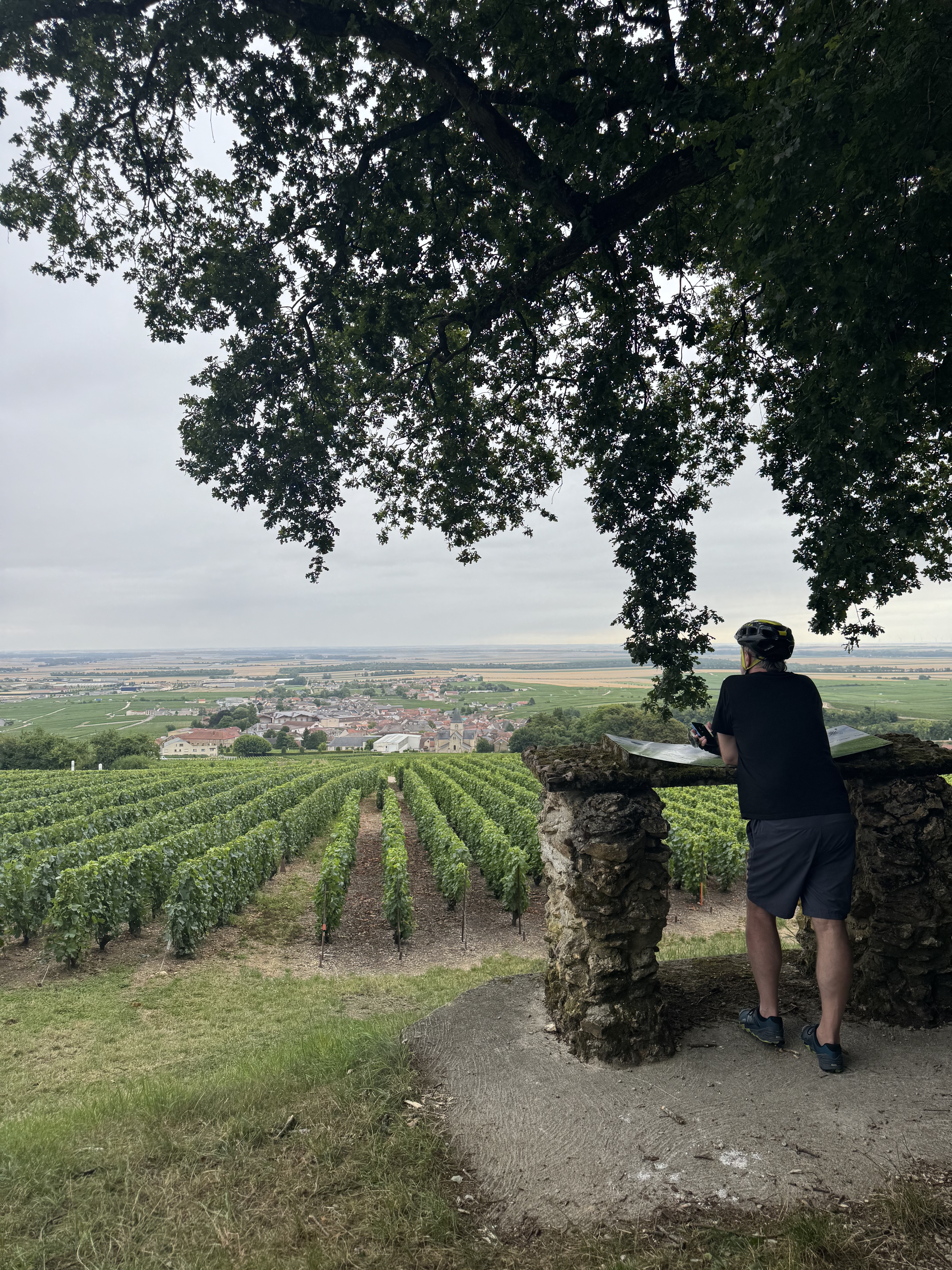
Starting from Épernay, the Capital of Champagne, the circuit approaches the historic Champagne hills listed as UNESCO World Heritage through a beautiful winding road to Champillon. The Abbey of Hautvillers bears witness to the wine-making heritage, as it is here that the Benedictine monk Dom Pérignon played an essential role in the genesis of Champagne. Descend towards the Marne and take a slight detour through the hilly backcountry where crossing the villages is picturesque between woods and vineyards. Return to Épernay via the greenway.
- -:--
- Duration
- 37.2 km
- Distance
- 336 m
- Ascent
- 334 m
- Descent
- ---
- Avg. speed
- 193 m
- Max. altitude

Route quality
Waytypes & surfaces along the route
Waytypes
Quiet road
13.8 km
(37 %)
Road
9.3 km
(25 %)
Surfaces
Paved
21.2 km
(57 %)
Unpaved
1.5 km
(4 %)
Asphalt
21.2 km
(57 %)
Unpaved (undefined)
1.1 km
(3 %)
Continue with Bikemap
Use, edit, or download this cycling route
You would like to ride Dom Pérignon or customize it for your own trip? Here is what you can do with this Bikemap route:
Free features
- Save this route as favorite or in collections
- Copy & plan your own version of this route
- Sync your route with Garmin or Wahoo
Premium features
Free trial for 3 days, or one-time payment. More about Bikemap Premium.
- Navigate this route on iOS & Android
- Export a GPX / KML file of this route
- Create your custom printout (try it for free)
- Download this route for offline navigation
Discover more Premium features.
Get Bikemap PremiumFrom our community
Other popular routes starting in Magenta
 Dom Pérignon
- Distance
- 37.2 km
- Ascent
- 336 m
- Descent
- 334 m
- Location
- Magenta, Grand Est, France
 Épernay - Reims
- Distance
- 28.9 km
- Ascent
- 351 m
- Descent
- 340 m
- Location
- Magenta, Grand Est, France
 Avenue du Vercors, Épernay to Rue Charuel, Épernay
- Distance
- 34 km
- Ascent
- 475 m
- Descent
- 522 m
- Location
- Magenta, Grand Est, France
 46 Avenue de Franche-Comté, Épernay to 9 Avenue Général Margueritte, Épernay
- Distance
- 19.4 km
- Ascent
- 293 m
- Descent
- 358 m
- Location
- Magenta, Grand Est, France
 La Champagne e Valle della Marna
- Distance
- 51.8 km
- Ascent
- 495 m
- Descent
- 475 m
- Location
- Magenta, Grand Est, France
 Epernay - Disneyland
- Distance
- 125.3 km
- Ascent
- 665 m
- Descent
- 613 m
- Location
- Magenta, Grand Est, France
 2 Rue de Reims, Épernay to 12 bis Rue Jean de Dormans, Dormans
- Distance
- 35.5 km
- Ascent
- 164 m
- Descent
- 166 m
- Location
- Magenta, Grand Est, France
 Avenue du Vercors, Épernay to Rue de la Juiverie, Épernay
- Distance
- 34.1 km
- Ascent
- 475 m
- Descent
- 522 m
- Location
- Magenta, Grand Est, France
Open it in the app