

62 km León, Vilecha, Vega de Infanzones, Palanquinos, Mansilla, Pte . Villarente, Marne, Villarroañe, Sta. Olaja, León.
A cycling route starting in San Andrés del Rabanedo, Castille and León, Spain.
Overview
About this route
- 2 h 34 min
- Duration
- 62.1 km
- Distance
- 11 m
- Ascent
- 3 m
- Descent
- 24.1 km/h
- Avg. speed
- ---
- Max. altitude

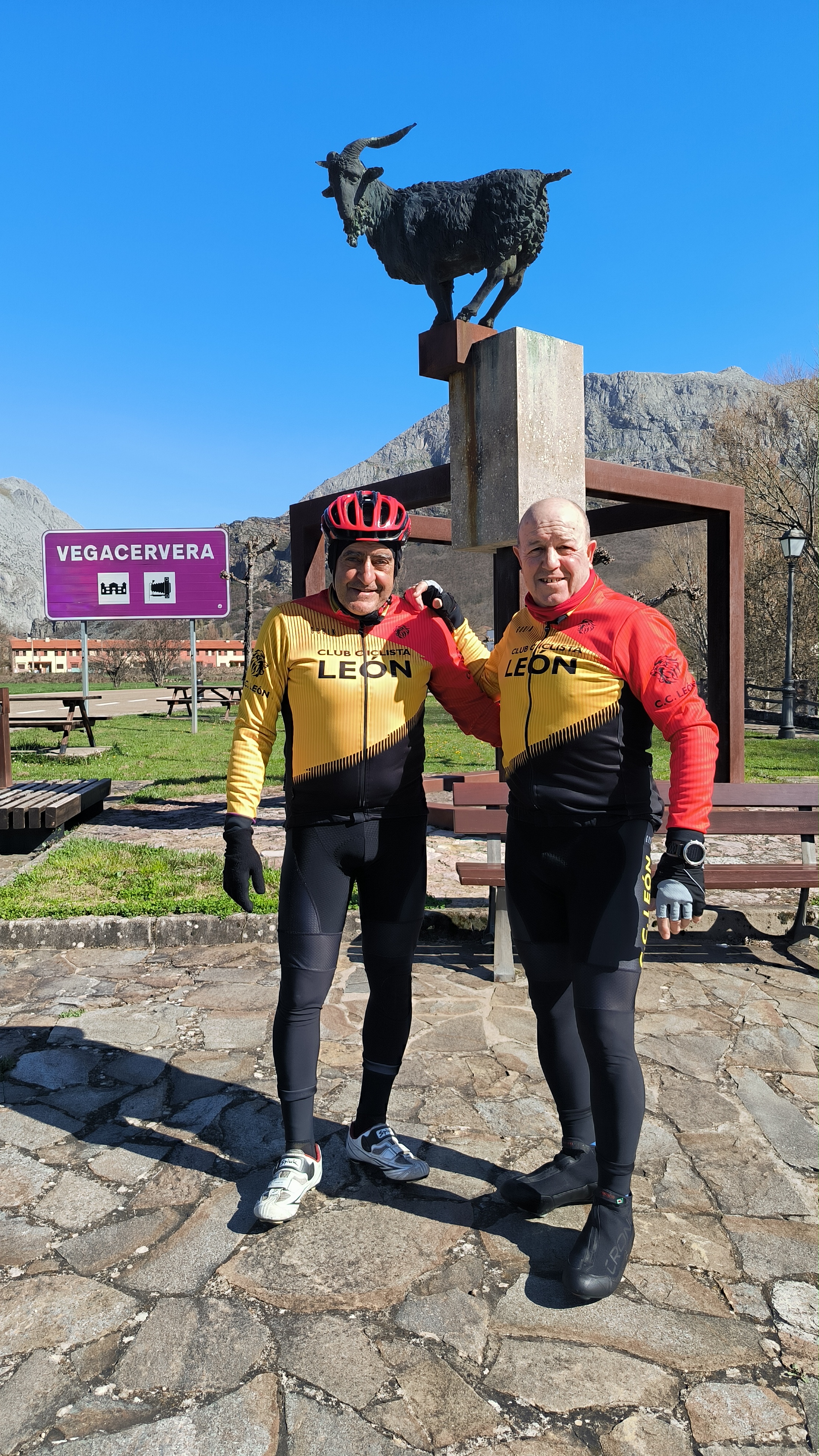
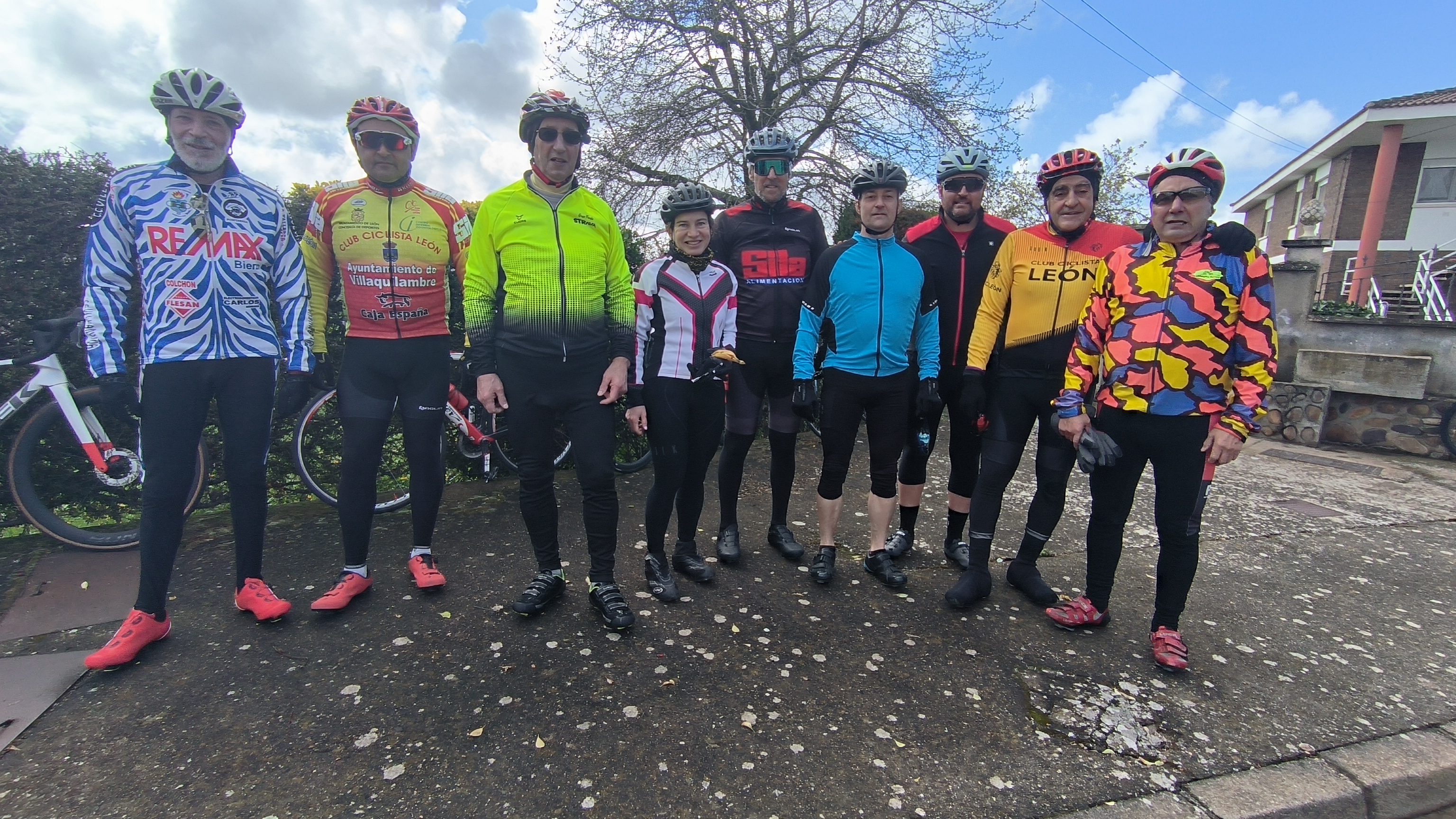
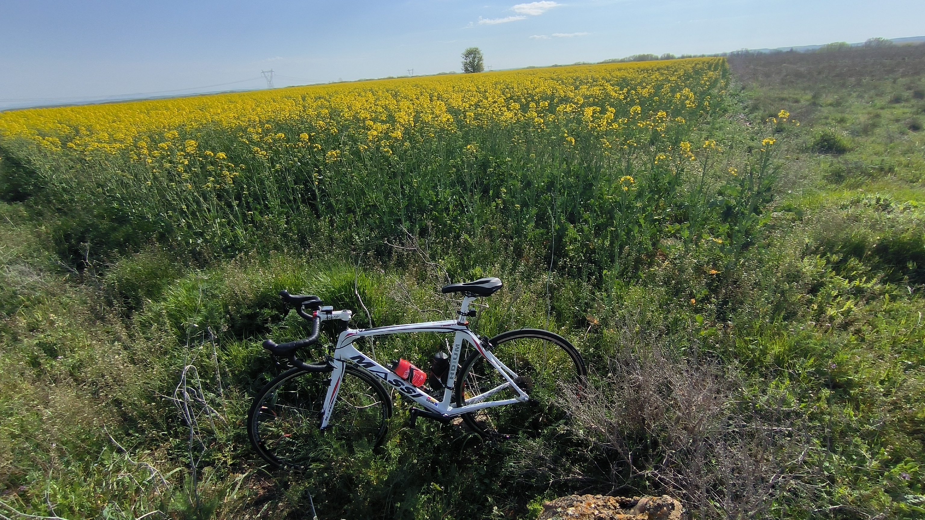
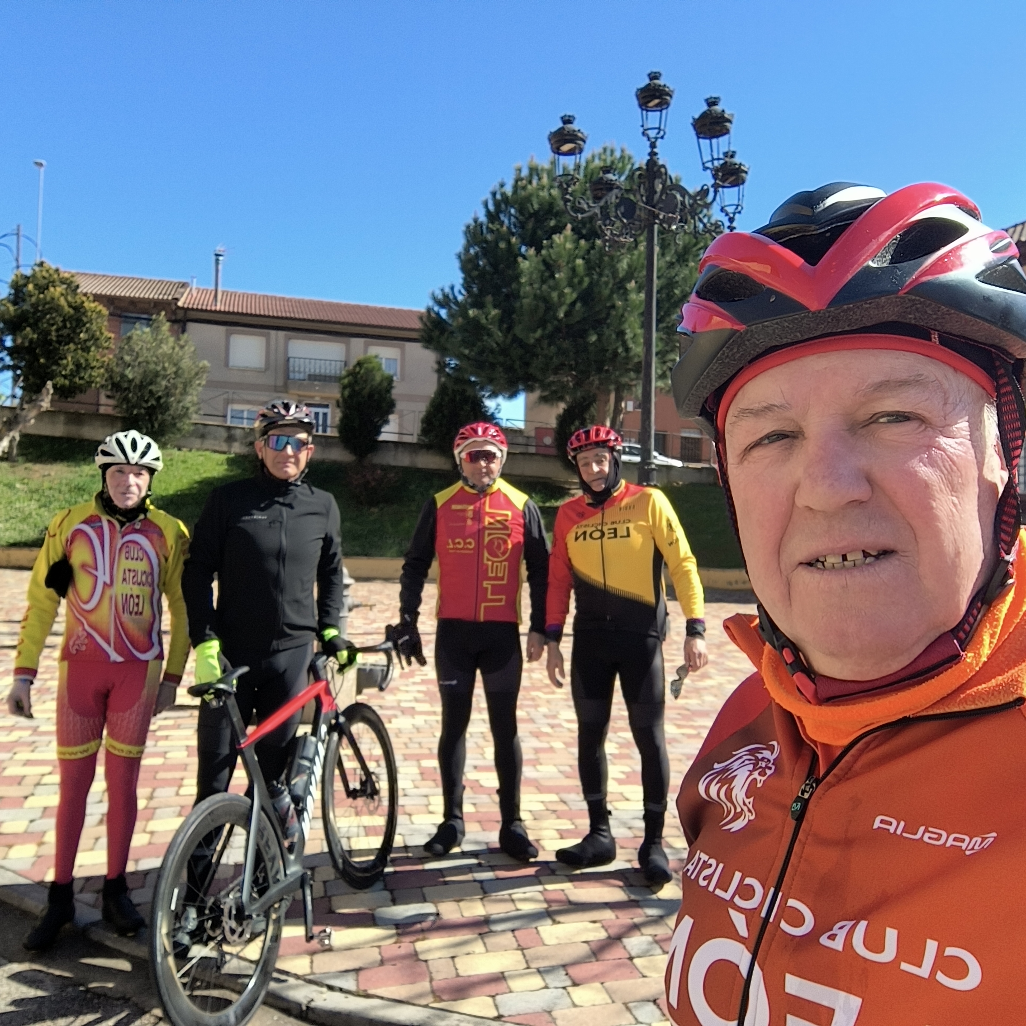
Route photos


Route quality
Waytypes & surfaces along the route
Waytypes
Road
34.2 km
(55 %)
Quiet road
5.6 km
(9 %)
Surfaces
Paved
54.7 km
(88 %)
Unpaved
0.6 km
(1 %)
Asphalt
54.7 km
(88 %)
Gravel
0.6 km
(1 %)
Undefined
6.8 km
(11 %)
Continue with Bikemap
Use, edit, or download this cycling route
You would like to ride 62 km León, Vilecha, Vega de Infanzones, Palanquinos, Mansilla, Pte . Villarente, Marne, Villarroañe, Sta. Olaja, León. or customize it for your own trip? Here is what you can do with this Bikemap route:
Free features
- Save this route as favorite or in collections
- Copy & plan your own version of this route
- Sync your route with Garmin or Wahoo
Premium features
Free trial for 3 days, or one-time payment. More about Bikemap Premium.
- Navigate this route on iOS & Android
- Export a GPX / KML file of this route
- Create your custom printout (try it for free)
- Download this route for offline navigation
Discover more Premium features.
Get Bikemap PremiumFrom our community
Other popular routes starting in San Andrés del Rabanedo
 40 km. ruta cementerio Bikers
- Distance
- 40.7 km
- Ascent
- 501 m
- Descent
- 594 m
- Location
- San Andrés del Rabanedo, Castille and León, Spain
 65 km. ruta del buen suceso
- Distance
- 65.2 km
- Ascent
- 434 m
- Descent
- 475 m
- Location
- San Andrés del Rabanedo, Castille and León, Spain
 85 km. ruta de la Vecilla
- Distance
- 85.4 km
- Ascent
- 718 m
- Descent
- 772 m
- Location
- San Andrés del Rabanedo, Castille and León, Spain
 101 km. León, Lorenzana, La Robla, Matallana, Carmenes, Canseco, Matallana, Garrafe, León.
- Distance
- 101.3 km
- Ascent
- 889 m
- Descent
- 922 m
- Location
- San Andrés del Rabanedo, Castille and León, Spain
 81 km. ruta de las Hoces
- Distance
- 83.2 km
- Ascent
- 708 m
- Descent
- 755 m
- Location
- San Andrés del Rabanedo, Castille and León, Spain
 ruta de Sardonedo
- Distance
- 72.5 km
- Ascent
- 393 m
- Descent
- 434 m
- Location
- San Andrés del Rabanedo, Castille and León, Spain
 93 km. León, Mansilla, Valevimbre, Fontecha, S. Miguel, Ferral, León.
- Distance
- 93 km
- Ascent
- 619 m
- Descent
- 664 m
- Location
- San Andrés del Rabanedo, Castille and León, Spain
 72 km. ruta de Villagallegos.
- Distance
- 72.1 km
- Ascent
- 528 m
- Descent
- 579 m
- Location
- San Andrés del Rabanedo, Castille and León, Spain
Open it in the app