Ottensheim - Grein
A cycling route starting in Ottensheim, Upper Austria, Austria.
Overview
About this route
- -:--
- Duration
- 76.7 km
- Distance
- 305 m
- Ascent
- 334 m
- Descent
- ---
- Avg. speed
- 290 m
- Max. altitude
Route quality
Waytypes & surfaces along the route
Waytypes
Cycleway
49.9 km
(65 %)
Quiet road
9.2 km
(12 %)
Surfaces
Paved
69.8 km
(91 %)
Unpaved
0.8 km
(1 %)
Asphalt
69 km
(90 %)
Paved (undefined)
0.8 km
(1 %)
Continue with Bikemap
Use, edit, or download this cycling route
You would like to ride Ottensheim - Grein or customize it for your own trip? Here is what you can do with this Bikemap route:
Free features
- Save this route as favorite or in collections
- Copy & plan your own version of this route
- Sync your route with Garmin or Wahoo
Premium features
Free trial for 3 days, or one-time payment. More about Bikemap Premium.
- Navigate this route on iOS & Android
- Export a GPX / KML file of this route
- Create your custom printout (try it for free)
- Download this route for offline navigation
Discover more Premium features.
Get Bikemap PremiumFrom our community
Other popular routes starting in Ottensheim
- GIS - Variante
- Distance
- 59.8 km
- Ascent
- 1,052 m
- Descent
- 1,053 m
- Location
- Ottensheim, Upper Austria, Austria
- ottensheim - gis (über martin)
- Distance
- 13.1 km
- Ascent
- 689 m
- Descent
- 59 m
- Location
- Ottensheim, Upper Austria, Austria
- EidenbergerAlm Rundkurs
- Distance
- 28.6 km
- Ascent
- 747 m
- Descent
- 744 m
- Location
- Ottensheim, Upper Austria, Austria
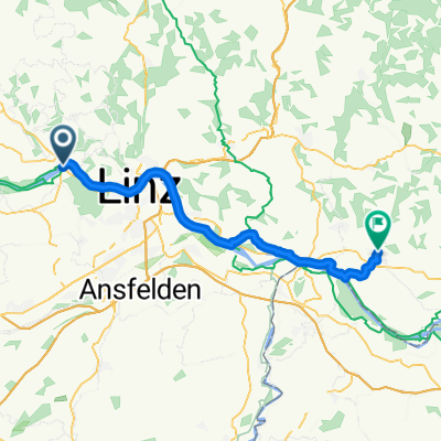
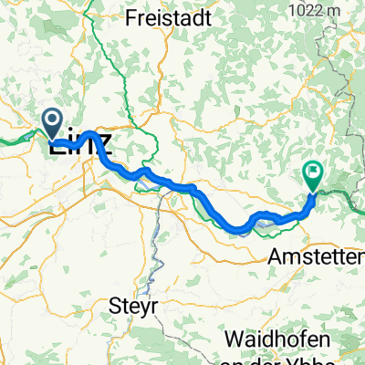
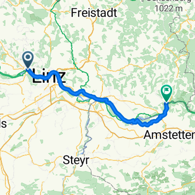
- Wilhering nach Neydharting
- Distance
- 68.1 km
- Ascent
- 622 m
- Descent
- 558 m
- Location
- Ottensheim, Upper Austria, Austria
- erste mühlviertel-runde-jahr1993
- Distance
- 45.4 km
- Ascent
- 920 m
- Descent
- 914 m
- Location
- Ottensheim, Upper Austria, Austria
- 20170802_181724.gpx
- Distance
- 11.2 km
- Ascent
- 75 m
- Descent
- 88 m
- Location
- Ottensheim, Upper Austria, Austria
- 2011 Ottensheim-Wesenufer
- Distance
- 52.5 km
- Ascent
- 364 m
- Descent
- 354 m
- Location
- Ottensheim, Upper Austria, Austria
- Mühlbach - Bad Mitterndorf
- Distance
- 151.4 km
- Ascent
- 960 m
- Descent
- 477 m
- Location
- Ottensheim, Upper Austria, Austria
Open it in the app