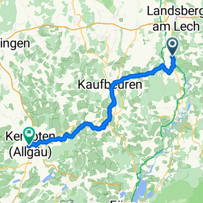
Bernbeuren - Dessau - Altenstadt - Hohenfurch - Kinsau
A cycling route starting in Unterdießen, Bavaria, Germany.
Overview
About this route
schöne verkehrsarme Route mit tollem Blick auf die Allgäuer Alpen. Highlight's sind: Ingenried, Tannenberg und die Strecke von Bernbeuren nach Dessau.
- -:--
- Duration
- 77.1 km
- Distance
- 336 m
- Ascent
- 338 m
- Descent
- ---
- Avg. speed
- ---
- Avg. speed
Continue with Bikemap
Use, edit, or download this cycling route
You would like to ride Bernbeuren - Dessau - Altenstadt - Hohenfurch - Kinsau or customize it for your own trip? Here is what you can do with this Bikemap route:
Free features
- Save this route as favorite or in collections
- Copy & plan your own version of this route
- Sync your route with Garmin or Wahoo
Premium features
Free trial for 3 days, or one-time payment. More about Bikemap Premium.
- Navigate this route on iOS & Android
- Export a GPX / KML file of this route
- Create your custom printout (try it for free)
- Download this route for offline navigation
Discover more Premium features.
Get Bikemap PremiumFrom our community
Other popular routes starting in Unterdießen
- Erpfting - Erpfting
- Distance
- 27.6 km
- Ascent
- 156 m
- Descent
- 155 m
- Location
- Unterdießen, Bavaria, Germany
- von Hurlach nach Mundraching
- Distance
- 46.8 km
- Ascent
- 101 m
- Descent
- 148 m
- Location
- Unterdießen, Bavaria, Germany
- Bernbeuren - Dessau - Altenstadt - Hohenfurch - Kinsau
- Distance
- 77.1 km
- Ascent
- 336 m
- Descent
- 338 m
- Location
- Unterdießen, Bavaria, Germany
- Oberdiessen - Asch - Leeder Denklingen - Dienhausen - Aschtal - Leeder - Asch - Oberdiessen
- Distance
- 26.6 km
- Ascent
- 132 m
- Descent
- 129 m
- Location
- Unterdießen, Bavaria, Germany
- Erpfting
- Distance
- 56.3 km
- Ascent
- 247 m
- Descent
- 248 m
- Location
- Unterdießen, Bavaria, Germany
- Unterdießen - Stauden - Unterdießen
- Distance
- 110.1 km
- Ascent
- 294 m
- Descent
- 294 m
- Location
- Unterdießen, Bavaria, Germany
- kleine Tour
- Distance
- 39.2 km
- Ascent
- 124 m
- Descent
- 122 m
- Location
- Unterdießen, Bavaria, Germany
- UD- - Bad Wörishofen - UD
- Distance
- 57.6 km
- Ascent
- 199 m
- Descent
- 198 m
- Location
- Unterdießen, Bavaria, Germany
Open it in the app