

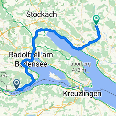
ÖH-Ramsen-Bohlinger Schlucht-Schrotzburg-ÖH
A cycling route starting in Öhningen, Baden-Wurttemberg, Germany.
Overview
About this route
A tour where you ride for a long time with a pleasant incline through the forest up to the Schienerberg.
- -:--
- Duration
- 28.8 km
- Distance
- 429 m
- Ascent
- 429 m
- Descent
- ---
- Avg. speed
- ---
- Max. altitude
Route quality
Waytypes & surfaces along the route
Waytypes
Track
17.6 km
(61 %)
Quiet road
7.2 km
(25 %)
Surfaces
Paved
8.4 km
(29 %)
Unpaved
15.8 km
(55 %)
Unpaved (undefined)
8.4 km
(29 %)
Asphalt
7.5 km
(26 %)
Continue with Bikemap
Use, edit, or download this cycling route
You would like to ride ÖH-Ramsen-Bohlinger Schlucht-Schrotzburg-ÖH or customize it for your own trip? Here is what you can do with this Bikemap route:
Free features
- Save this route as favorite or in collections
- Copy & plan your own version of this route
- Sync your route with Garmin or Wahoo
Premium features
Free trial for 3 days, or one-time payment. More about Bikemap Premium.
- Navigate this route on iOS & Android
- Export a GPX / KML file of this route
- Create your custom printout (try it for free)
- Download this route for offline navigation
Discover more Premium features.
Get Bikemap PremiumFrom our community
Other popular routes starting in Öhningen
 Wangen Bds. - Kreuzlingen
- Distance
- 68.6 km
- Ascent
- 407 m
- Descent
- 400 m
- Location
- Öhningen, Baden-Wurttemberg, Germany
 Oner und Untersee
- Distance
- 161.8 km
- Ascent
- 399 m
- Descent
- 403 m
- Location
- Öhningen, Baden-Wurttemberg, Germany
 Von Lindau (Bodensee) bis Gaißau Österreich
- Distance
- 56.4 km
- Ascent
- 525 m
- Descent
- 436 m
- Location
- Öhningen, Baden-Wurttemberg, Germany
 Öhningen - Schienerberg - Langenmoos - Abfahrt - zurück
- Distance
- 17.2 km
- Ascent
- 338 m
- Descent
- 338 m
- Location
- Öhningen, Baden-Wurttemberg, Germany
 de day 3
- Distance
- 69.3 km
- Ascent
- 297 m
- Descent
- 403 m
- Location
- Öhningen, Baden-Wurttemberg, Germany
 Bodensee Umrundung
- Distance
- 197.3 km
- Ascent
- 765 m
- Descent
- 791 m
- Location
- Öhningen, Baden-Wurttemberg, Germany
 Bodensee Rund um den Untersee
- Distance
- 72.3 km
- Ascent
- 128 m
- Descent
- 130 m
- Location
- Öhningen, Baden-Wurttemberg, Germany
 ÖH-Ramsen-Bohlinger Schlucht-Schrotzburg-ÖH
- Distance
- 28.8 km
- Ascent
- 429 m
- Descent
- 429 m
- Location
- Öhningen, Baden-Wurttemberg, Germany
Open it in the app