
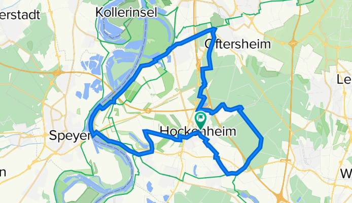
Hockenheim - Altlußheim - Ketsch - Schwetzingen - Reilingen - Hockenheim
A cycling route starting in Hockenheim, Baden-Wurttemberg, Germany.
Overview
About this route
- -:--
- Duration
- 41.6 km
- Distance
- 86 m
- Ascent
- 87 m
- Descent
- ---
- Avg. speed
- ---
- Max. altitude

Route quality
Waytypes & surfaces along the route
Waytypes
Track
16.9 km
(41 %)
Access road
8.9 km
(21 %)
Surfaces
Paved
29.1 km
(70 %)
Unpaved
10.2 km
(25 %)
Asphalt
23.1 km
(56 %)
Gravel
4.8 km
(12 %)
Continue with Bikemap
Use, edit, or download this cycling route
You would like to ride Hockenheim - Altlußheim - Ketsch - Schwetzingen - Reilingen - Hockenheim or customize it for your own trip? Here is what you can do with this Bikemap route:
Free features
- Save this route as favorite or in collections
- Copy & plan your own version of this route
- Sync your route with Garmin or Wahoo
Premium features
Free trial for 3 days, or one-time payment. More about Bikemap Premium.
- Navigate this route on iOS & Android
- Export a GPX / KML file of this route
- Create your custom printout (try it for free)
- Download this route for offline navigation
Discover more Premium features.
Get Bikemap PremiumFrom our community
Other popular routes starting in Hockenheim
 Hockenheim-Eichelberg-Hockenheim
- Distance
- 72.4 km
- Ascent
- 375 m
- Descent
- 376 m
- Location
- Hockenheim, Baden-Wurttemberg, Germany
 Um Speyer44km
- Distance
- 43.9 km
- Ascent
- 32 m
- Descent
- 33 m
- Location
- Hockenheim, Baden-Wurttemberg, Germany
 Kraichbachquelle
- Distance
- 49.9 km
- Ascent
- 229 m
- Descent
- 32 m
- Location
- Hockenheim, Baden-Wurttemberg, Germany
 Schwagertour 2013_Ver.2
- Distance
- 126.6 km
- Ascent
- 1,028 m
- Descent
- 965 m
- Location
- Hockenheim, Baden-Wurttemberg, Germany
 Hockenheim-Schwetzingen-Hockenheim
- Distance
- 17.2 km
- Ascent
- 27 m
- Descent
- 29 m
- Location
- Hockenheim, Baden-Wurttemberg, Germany
 Sonntagsrunde
- Distance
- 78.1 km
- Ascent
- 82 m
- Descent
- 82 m
- Location
- Hockenheim, Baden-Wurttemberg, Germany
 CommercyTour2019_E1
- Distance
- 149.2 km
- Ascent
- 581 m
- Descent
- 493 m
- Location
- Hockenheim, Baden-Wurttemberg, Germany
 Hockenheim - Altlußheim - Ketsch - Schwetzingen - Reilingen - Hockenheim
- Distance
- 41.6 km
- Ascent
- 86 m
- Descent
- 87 m
- Location
- Hockenheim, Baden-Wurttemberg, Germany
Open it in the app