- 34.9 km
- 126 m
- 162 m
- Raesfeld, North Rhine-Westphalia, Germany
Radwandertag Raesfeld 2011
A cycling route starting in Raesfeld, North Rhine-Westphalia, Germany.
Overview
About this route
From the St. Sebastian School heading north, through Grütlohn to Westenborken. Then turn west before Büngern, then south through the Dingdener Heide. Through Krommert eastwards, via Homer, back to Raesfeld.
- -:--
- Duration
- 41.3 km
- Distance
- 96 m
- Ascent
- 98 m
- Descent
- ---
- Avg. speed
- ---
- Max. altitude
created this 14 years ago
Route quality
Waytypes & surfaces along the route
Waytypes
Quiet road
35.5 km
(86 %)
Track
2.5 km
(6 %)
Surfaces
Paved
13.2 km
(32 %)
Unpaved
2.5 km
(6 %)
Asphalt
13.2 km
(32 %)
Gravel
2.5 km
(6 %)
Undefined
25.6 km
(62 %)
Route highlights
Points of interest along the route

Photo after 0 km
Start und Ziel, Alexanderschule

Photo after 1.4 km
Bauerncafé Vennekenhof

Photo after 2.8 km
Isselquelle

Photo after 8.7 km
Spargelfeld im Aechterhook

Photo after 11.4 km
1. Verpflegungsstop

Photo after 18.9 km
Münsterländer Parklandschaft

Photo after 24.9 km
2. Verpflegungsstop

Photo after 34.2 km

Photo after 36.4 km
Grenze Homer - Raesfeld

Photo after 36.4 km
Sage vom Ho-Ho-Männchen

Photo after 39.9 km
Das Ziel naht

Photo after 40.5 km
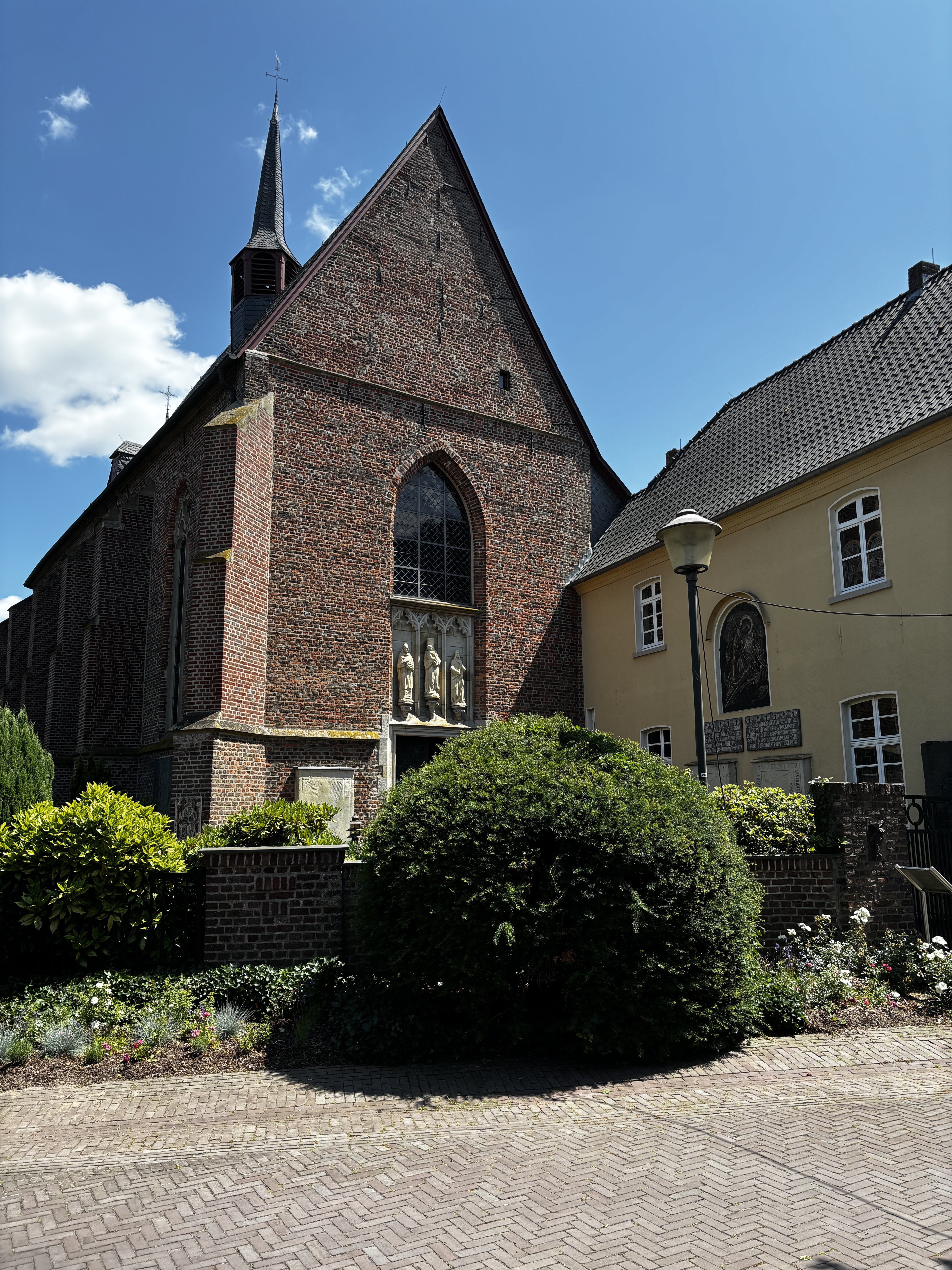
Blick Richtung Kirche

Photo after 40.7 km
Blick Richtung Schloss
Continue with Bikemap
Use, edit, or download this cycling route
You would like to ride Radwandertag Raesfeld 2011 or customize it for your own trip? Here is what you can do with this Bikemap route:
Free features
- Save this route as favorite or in collections
- Copy & plan your own version of this route
- Sync your route with Garmin or Wahoo
Premium features
Free trial for 3 days, or one-time payment. More about Bikemap Premium.
- Navigate this route on iOS & Android
- Export a GPX / KML file of this route
- Create your custom printout (try it for free)
- Download this route for offline navigation
Discover more Premium features.
Get Bikemap PremiumFrom our community
Other popular routes starting in Raesfeld
- Südring, Raesfeld nach Güterstraße, Hamminkeln
- Schlösser, Burgen, Herrensitze
- 35.4 km
- 38 m
- 31 m
- Raesfeld, North Rhine-Westphalia, Germany
- Raesfeld-Haltern
- 74.4 km
- 276 m
- 274 m
- Raesfeld, North Rhine-Westphalia, Germany
- Erle Krechting 55 km
- 51.4 km
- 120 m
- 133 m
- Raesfeld, North Rhine-Westphalia, Germany
- Ausflug in die ganz Hohe Mark
- 52.1 km
- 201 m
- 194 m
- Raesfeld, North Rhine-Westphalia, Germany
- Raesfeld - Rhade und zurück
- 33.5 km
- 116 m
- 114 m
- Raesfeld, North Rhine-Westphalia, Germany
- Ausflug in die ganz Hohe Mark
- 52.1 km
- 203 m
- 201 m
- Raesfeld, North Rhine-Westphalia, Germany
- Marienthal - Raesfeld und zurück
- 21 km
- 62 m
- 61 m
- Raesfeld, North Rhine-Westphalia, Germany
Open it in the app


