

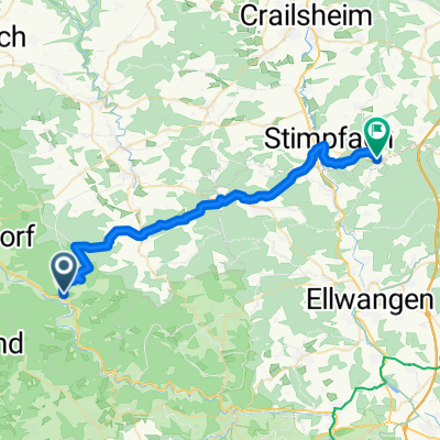
Sulzbach-Lauffen---Rechenberg
- 32.8 km
- 634 m
- 504 m
- Gerabronn, Baden-Wurttemberg, Germany
A cycling route starting in Gerabronn, Baden-Wurttemberg, Germany.
Overview
Start in Sulzbach-Kocher. Over Kohlwald, Immersberg.
From Heilberg it goes about 3 km to Senzenberg into the forests behind Rosenberg. At Zumholz is the turning point, here it goes back over very idyllic forest paths and a few roads towards.
Bühlerzell. Then side roads via Imberg, Schärtlensee back to Kohlenstraße into the Kochertal.
Route quality
Track
15.7 km
(31 %)
Road
15.2 km
(30 %)
Paved
13.2 km
(26 %)
Unpaved
12.2 km
(24 %)
Gravel
10.1 km
(20 %)
Asphalt
9.1 km
(18 %)
Continue with Bikemap
You would like to ride 50km Wäldertour or customize it for your own trip? Here is what you can do with this Bikemap route:
Free trial for 3 days, or one-time payment. More about Bikemap Premium.
Discover more Premium features.
Get Bikemap PremiumFrom our community
Open it in the app


