

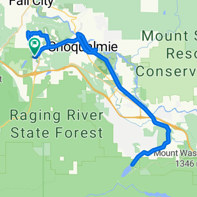
Tokul Road Southeast, Snoqualmie to Main Street Northeast 15630, Duvall
A cycling route starting in Snoqualmie, Washington, United States.
Overview
About this route
1
- 2:17 h
- Duration
- 30.5 km
- Distance
- 82 m
- Ascent
- 137 m
- Descent
- 13.3 km/h
- Avg. speed
- ---
- Max. altitude
Ty Ty
created this 4 years ago
Route photos


Route quality
Waytypes & surfaces along the route
Waytypes
Cycleway
28.1 km
92 %
Quiet road
1.8 km
6 %
Surfaces
Unpaved
28.4 km
(93 %)
Gravel
28.1 km
92 %
Unpaved (undefined)
0.3 km
1 %
Undefined
2.1 km
7 %
Continue with Bikemap
Use, edit, or download this cycling route
You would like to ride Tokul Road Southeast, Snoqualmie to Main Street Northeast 15630, Duvall or customize it for your own trip? Here is what you can do with this Bikemap route:
Free features
- Save this route as favorite or in collections
- Copy & plan your own version of this route
- Sync your route with Garmin or Wahoo
Premium features
Free trial for 3 days, or one-time payment. More about Bikemap Premium.
- Navigate this route on iOS & Android
- Export a GPX / KML file of this route
- Create your custom printout (try it for free)
- Download this route for offline navigation
Discover more Premium features.
Get Bikemap PremiumFrom our community
Other popular routes starting in Snoqualmie
- Snoqualmie Valley Trail: Riverview Park to Rattlesnake Lake; return0
- 32.7 km
- 184 m
- 165 m
- Snoqualmie, Washington, United States
- Route to 34204 Southeast Satterlee Street, Snoqualmie, WA 980651
- 50.5 km
- 621 m
- 623 m
- Snoqualmie, Washington, United States
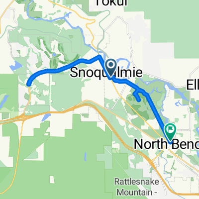
- SE River St, Snoqualmie to Main Ave N, North Bend1
- 21.5 km
- 190 m
- 183 m
- Snoqualmie, Washington, United States


Open it in the app