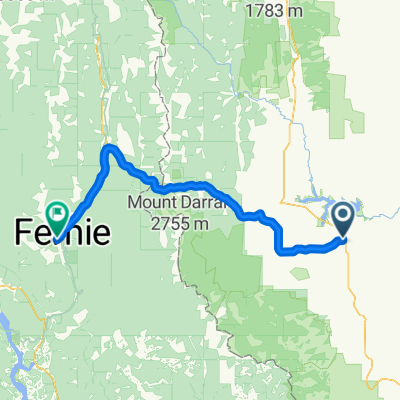
Taber
- 152.8 km
- 102 m
- 359 m
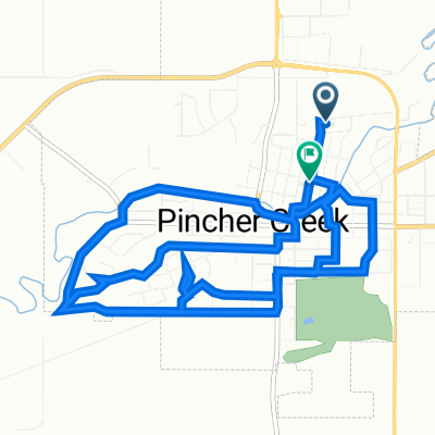
- Pincher Creek, Alberta, Canada
A cycling route starting in Pincher Creek, Alberta, Canada.
Overview
created this 4 years ago
Route quality
Road
42.1 km
(55 %)
Quiet road
32.9 km
(43 %)
Undefined
1.5 km
(2 %)
Paved
0.8 km
(1 %)
Unpaved
55.1 km
(72 %)
Unpaved (undefined)
54.4 km
(71 %)
Paved (undefined)
0.8 km
(1 %)
Continue with Bikemap
You would like to ride Waterton, Baby or customize it for your own trip? Here is what you can do with this Bikemap route:
Free trial for 3 days, or one-time payment. More about Bikemap Premium.
Discover more Premium features.
Get Bikemap PremiumFrom our community
Open it in the app