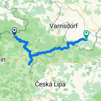
Česko Saské Švýcarsko
- 42.2 km
- 535 m
- 537 m
- Mikulášovice, Ústecký kraj, Czechia
A cycling route starting in Mikulášovice, Ústecký kraj, Czechia.
Overview
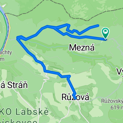
Circuit through three observation towers
created this 17 years ago
Route highlights

Rozhledna Tanečnice

Rozhledna na německé straně

Vlčí hora
Continue with Bikemap
You would like to ride 28_7_2008 Šenov or customize it for your own trip? Here is what you can do with this Bikemap route:
Free trial for 3 days, or one-time payment. More about Bikemap Premium.
Discover more Premium features.
Get Bikemap PremiumFrom our community
Open it in the app