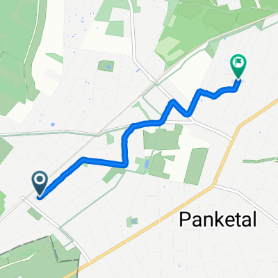
Hörstenweg nach Hörstenweg
- 14.5 km
- 49 m
- 89 m
- Buch, State of Berlin, Germany
A cycling route starting in Buch, State of Berlin, Germany.
Overview
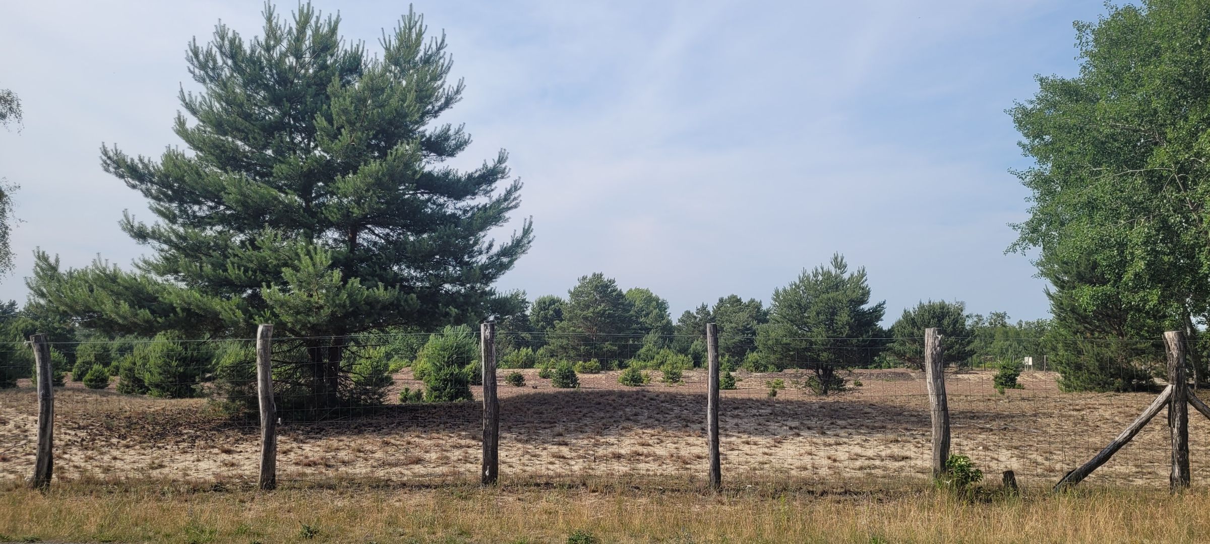
Except for a short section of cobblestones near Freudenberg, good asphalt.
created this 14 years ago
Route quality
Path
5.4 km
(10 %)
Road
4.9 km
(9 %)
Paved
47.1 km
(87 %)
Unpaved
2.7 km
(5 %)
Asphalt
47.1 km
(87 %)
Unpaved (undefined)
1.6 km
(3 %)
Continue with Bikemap
You would like to ride 55km Runde or customize it for your own trip? Here is what you can do with this Bikemap route:
Free trial for 3 days, or one-time payment. More about Bikemap Premium.
Discover more Premium features.
Get Bikemap PremiumFrom our community
Open it in the app