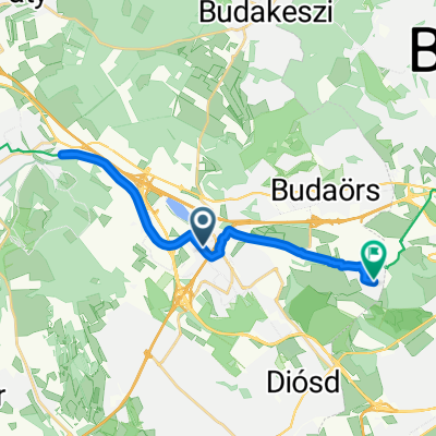
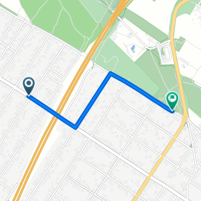
От Alsóerdősor utca 39, Törökbálint до Alsóerdősor utca 35/b, Törökbálint
- 5.1 km
- 127 m
- 120 m
- Törökbálint, Pest County, Hungary
A cycling route starting in Törökbálint, Pest County, Hungary.
Overview
created this 4 years ago
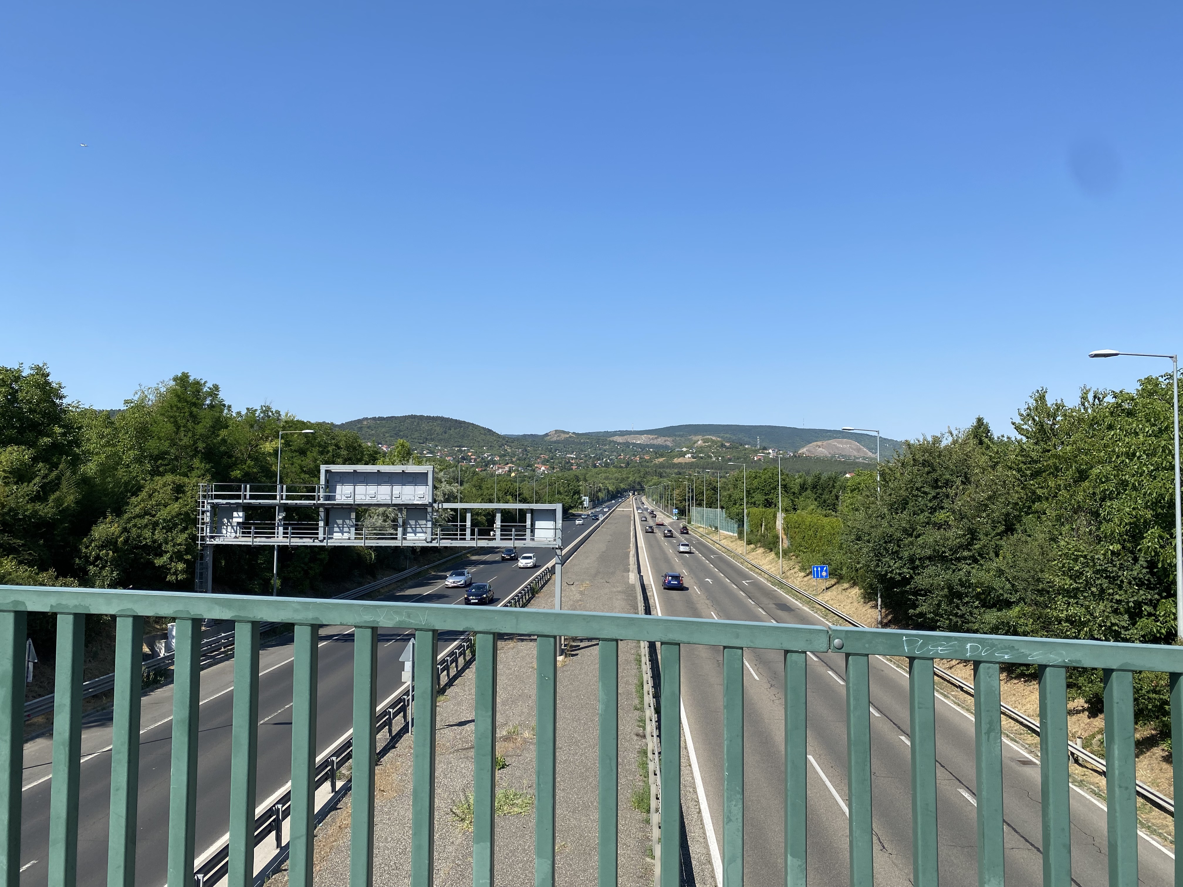
Route quality
Quiet road
3.6 km
(26 %)
Cycleway
3.6 km
(26 %)
Paved
12.1 km
(87 %)
Unpaved
0.1 km
(1 %)
Asphalt
12.1 km
(87 %)
Ground
0.1 km
(1 %)
Undefined
1.7 km
(12 %)
Continue with Bikemap
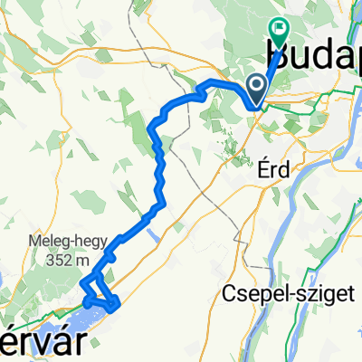
You would like to ride Pannon út, Törökbálint to Szabadság híd, Budapest or customize it for your own trip? Here is what you can do with this Bikemap route:
Free trial for 3 days, or one-time payment. More about Bikemap Premium.
Discover more Premium features.
Get Bikemap PremiumFrom our community
Open it in the app