
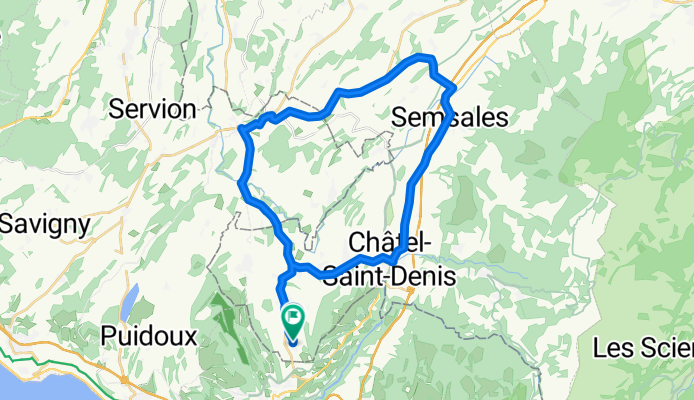
Attalens / Oron / Semsales / Chàtel-Saint-Denis / Attalens
A cycling route starting in Attalens, Canton of Fribourg, Switzerland.
Overview
About this route
Gute Feierabend-Runde mit z.T. längeren Anstiegen.
- -:--
- Duration
- 37.7 km
- Distance
- 427 m
- Ascent
- 430 m
- Descent
- ---
- Avg. speed
- ---
- Max. altitude
Route quality
Waytypes & surfaces along the route
Waytypes
Busy road
28.8 km
(77 %)
Quiet road
3.7 km
(10 %)
Surfaces
Paved
20.2 km
(53 %)
Asphalt
20.2 km
(53 %)
Undefined
17.5 km
(47 %)
Continue with Bikemap
Use, edit, or download this cycling route
You would like to ride Attalens / Oron / Semsales / Chàtel-Saint-Denis / Attalens or customize it for your own trip? Here is what you can do with this Bikemap route:
Free features
- Save this route as favorite or in collections
- Copy & plan your own version of this route
- Sync your route with Garmin or Wahoo
Premium features
Free trial for 3 days, or one-time payment. More about Bikemap Premium.
- Navigate this route on iOS & Android
- Export a GPX / KML file of this route
- Create your custom printout (try it for free)
- Download this route for offline navigation
Discover more Premium features.
Get Bikemap PremiumFrom our community
Other popular routes starting in Attalens
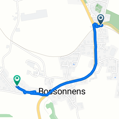
 Route en Chemins 2, Bossonnens à Route en Chemins 2, Bossonnens
- Distance
- 43.9 km
- Ascent
- 821 m
- Descent
- 822 m
- Location
- Attalens, Canton of Fribourg, Switzerland
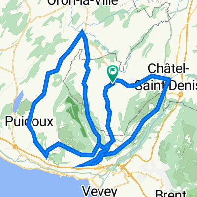
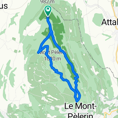
 Mont-Pélerin / Genfer See
- Distance
- 28 km
- Ascent
- 460 m
- Descent
- 459 m
- Location
- Attalens, Canton of Fribourg, Switzerland
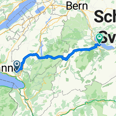 De Chemin de la Greppa 12, Attalens à Schachenstrasse 3 4, Spiez
- Distance
- 97.3 km
- Ascent
- 1,717 m
- Descent
- 1,858 m
- Location
- Attalens, Canton of Fribourg, Switzerland
 Itinéraire modéré en Blonay
- Distance
- 1.1 km
- Ascent
- 22 m
- Descent
- 0 m
- Location
- Attalens, Canton of Fribourg, Switzerland
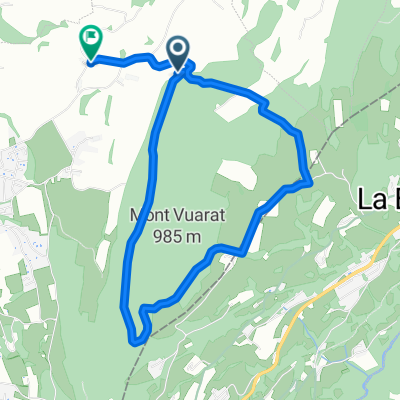 full vuarat circuit (without the part till we get to the Forrest since I forgot to record)
- Distance
- 5.6 km
- Ascent
- 204 m
- Descent
- 230 m
- Location
- Attalens, Canton of Fribourg, Switzerland
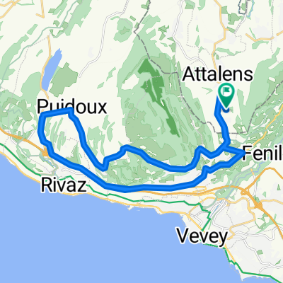
 Parcours n°11 - Les Châteaux
- Distance
- 17.8 km
- Ascent
- 401 m
- Descent
- 402 m
- Location
- Attalens, Canton of Fribourg, Switzerland
 pédestre : Mont-Pèlerin De Chemin du Montcheseaux 7, Puidoux à Chemin du Montcheseaux 7, Puidoux
- Distance
- 8.1 km
- Ascent
- 264 m
- Descent
- 266 m
- Location
- Attalens, Canton of Fribourg, Switzerland
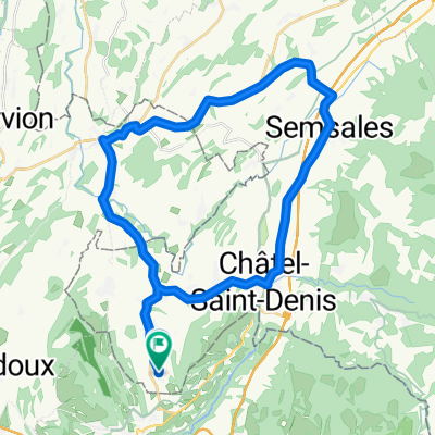 Attalens / Oron / Semsales / Chàtel-Saint-Denis / Attalens
- Distance
- 37.7 km
- Ascent
- 427 m
- Descent
- 430 m
- Location
- Attalens, Canton of Fribourg, Switzerland
Open it in the app