Relaxed Morning Ride In Marcinowice
- 7.4 km
- 46 m
- 48 m
- Sobótka, Lower Silesian Voivodeship, Poland
A cycling route starting in Sobótka, Lower Silesian Voivodeship, Poland.
Overview
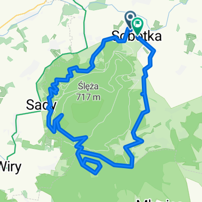
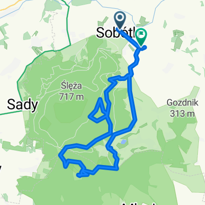
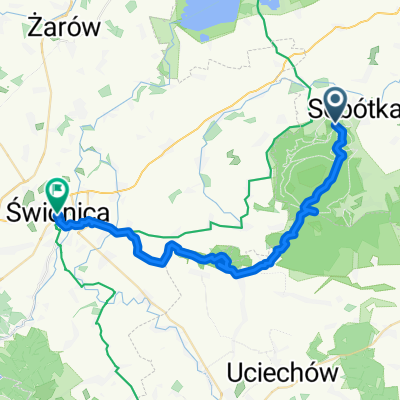
Around Ślęża and Radunia, through the Górka Castle, the source of Ślężan, the bypass Tąpadła, the Suliwoods singletrack, the Sulistrowicki reservoir, and the archaeological open-air museum in Będkowice. The route is quite easy technically and takes about 3-4 hours of riding.
created this 4 years ago


Route quality
Track
22.1 km
(65 %)
Quiet road
4.8 km
(14 %)
Paved
5.4 km
(16 %)
Unpaved
16 km
(47 %)
Ground
9.2 km
(27 %)
Asphalt
3.7 km
(11 %)
Continue with Bikemap
You would like to ride MTB #1 - propozycja trasy od GreeneBikes.pl or customize it for your own trip? Here is what you can do with this Bikemap route:
Free trial for 3 days, or one-time payment. More about Bikemap Premium.
Discover more Premium features.
Get Bikemap PremiumFrom our community
Open it in the app