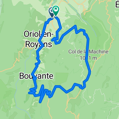
Combe Lavel Rundtour 50km
- 41.5 km
- 1,613 m
- 1,600 m
- Saint-Jean-en-Royans, Auvergne-Rhône-Alpes, France
A cycling route starting in Saint-Jean-en-Royans, Auvergne-Rhône-Alpes, France.
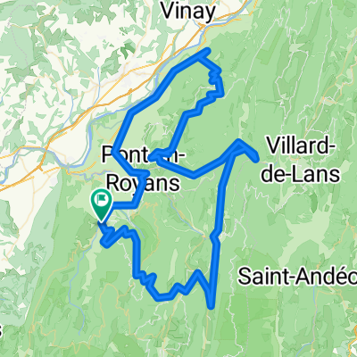
Overview
Start & Finish: Vassieux-en-Vercors
created this 14 years ago
Route quality
Road
20.5 km
(17 %)
Track
9.7 km
(8 %)
Paved
65.2 km
(54 %)
Unpaved
4.8 km
(4 %)
Asphalt
65.2 km
(54 %)
Gravel
4.8 km
(4 %)
Undefined
50.7 km
(42 %)
Route highlights
Continue with Bikemap
You would like to ride Vercors 4 or customize it for your own trip? Here is what you can do with this Bikemap route:
Free trial for 3 days, or one-time payment. More about Bikemap Premium.
Discover more Premium features.
Get Bikemap PremiumFrom our community
Open it in the app