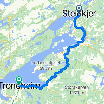
Kongens Gate 40, Steinkjer nach Herlaugs Gate, Namsos
- 76.2 km
- 605 m
- 614 m
- Steinkjer, Nord-Trøndelag Fylke, Norway
A cycling route starting in Steinkjer, Nord-Trøndelag Fylke, Norway.
Overview
created this 4 years ago
Route quality
Cycleway
12.2 km
(16 %)
Access road
3.8 km
(5 %)
Paved
68.6 km
(90 %)
Asphalt
68.6 km
(90 %)
Undefined
7.6 km
(10 %)
Continue with Bikemap
You would like to ride Kongens Gate 40, Steinkjer nach Herlaugs Gate, Namsos or customize it for your own trip? Here is what you can do with this Bikemap route:
Free trial for 3 days, or one-time payment. More about Bikemap Premium.
Discover more Premium features.
Get Bikemap PremiumFrom our community
Open it in the app