

Vyssy Brod - Linz-Obersteg
A cycling route starting in Vyšší Brod, Jihočeský kraj, Czechia.
Overview
About this route
Eine abwechlungsreise, anspruchvolle und schöne Route, die etwas Kondition und Fahrkönnen abverlangt. Besonders die Strecke von Vyssy Brod bis zur Grenze in Rading (15 km) ist durch steile Anstiege und Abfahrten (Herbertov) gekennzeicnet. Auch die Strecke von Mlynek (Pferdehof) bis nach de Grenze weist eine stetige Steigung auf (5 km). Es gibt kaum Asphalt und teilweise sehr groben Schotter. Auf österreichischer Seite weisen die Radwege die gewohnte gute Qualität auf. Nach Bad Leonfelden befindet man sich bis zur Abzweigung nach Schenkenfelden auf einer stark befahrenen Strasse (nicht empfehlenswert). Die Route über Habruck wäre sicher angenehmer zu fahren. Von Reichenau bis Altenberg eröffnen sich bei schönem Wetter wunderbare Ausblicke in die mühlviertler Landschaft und zwischen Altenberg und Oberbairing ins Donautal.
Steigungen 828 m, anspruchsvoll!
- -:--
- Duration
- 48.8 km
- Distance
- 629 m
- Ascent
- 931 m
- Descent
- ---
- Avg. speed
- 775 m
- Max. altitude

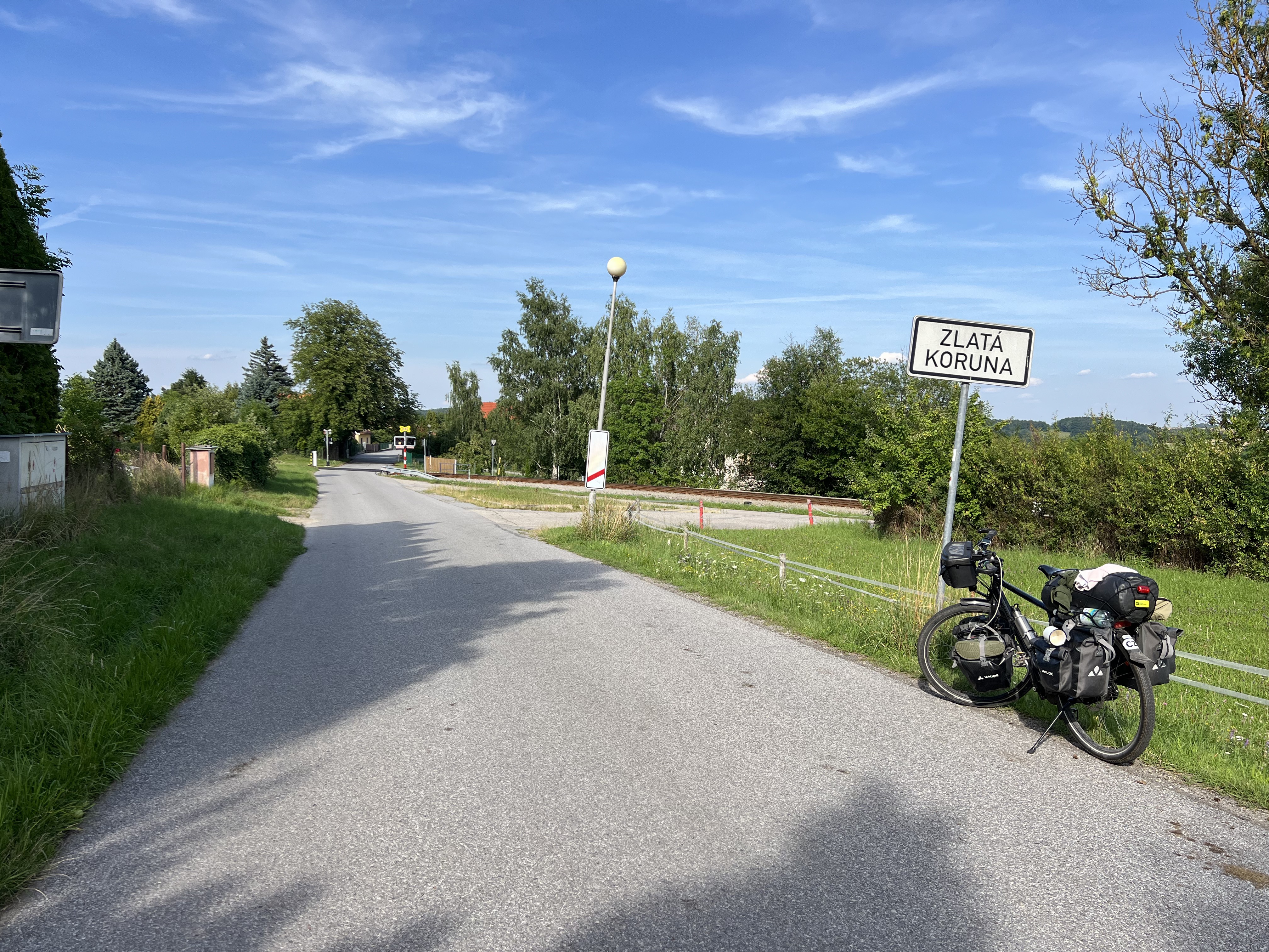
Route photos

Route quality
Waytypes & surfaces along the route
Waytypes
Road
18.6 km
(38 %)
Quiet road
15.1 km
(31 %)
Surfaces
Paved
22.4 km
(46 %)
Unpaved
11.9 km
(24 %)
Asphalt
22.4 km
(46 %)
Gravel
8.3 km
(17 %)
Continue with Bikemap
Use, edit, or download this cycling route
You would like to ride Vyssy Brod - Linz-Obersteg or customize it for your own trip? Here is what you can do with this Bikemap route:
Free features
- Save this route as favorite or in collections
- Copy & plan your own version of this route
- Sync your route with Garmin or Wahoo
Premium features
Free trial for 3 days, or one-time payment. More about Bikemap Premium.
- Navigate this route on iOS & Android
- Export a GPX / KML file of this route
- Create your custom printout (try it for free)
- Download this route for offline navigation
Discover more Premium features.
Get Bikemap PremiumFrom our community
Other popular routes starting in Vyšší Brod
 ViššyGrad_Praha
- Distance
- 486.5 km
- Ascent
- 1,632 m
- Descent
- 1,988 m
- Location
- Vyšší Brod, Jihočeský kraj, Czechia
 20.7.-Vyšší Brod-Rozmberg-Rozmital-Cesky kr.-Zlatá Koruna 4:09hod-11,4km/hod-58,9max
- Distance
- 48 km
- Ascent
- 1,043 m
- Descent
- 1,148 m
- Location
- Vyšší Brod, Jihočeský kraj, Czechia
 Südböhmen 1: Rosenberg-Krumau-Budweis-Frauenberg, 66,7km 598hm
- Distance
- 66.7 km
- Ascent
- 598 m
- Descent
- 710 m
- Location
- Vyšší Brod, Jihočeský kraj, Czechia
 Radsprotten Tour 2019: Bohemian Rhapsody
- Distance
- 321.7 km
- Ascent
- 1,469 m
- Descent
- 1,452 m
- Location
- Vyšší Brod, Jihočeský kraj, Czechia
 Vyšší Brod-Innsbruck-Benátky(1.část)
- Distance
- 439.8 km
- Ascent
- 707 m
- Descent
- 692 m
- Location
- Vyšší Brod, Jihočeský kraj, Czechia
 Rožmberk nad Vltavou - Vyšší Brod (9 km)
- Distance
- 8.6 km
- Ascent
- 147 m
- Descent
- 134 m
- Location
- Vyšší Brod, Jihočeský kraj, Czechia
 Rožmberk - Jindřichův Hradec
- Distance
- 124.2 km
- Ascent
- 474 m
- Descent
- 560 m
- Location
- Vyšší Brod, Jihočeský kraj, Czechia
 Radtour2013/2
- Distance
- 91.9 km
- Ascent
- 943 m
- Descent
- 876 m
- Location
- Vyšší Brod, Jihočeský kraj, Czechia
Open it in the app