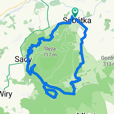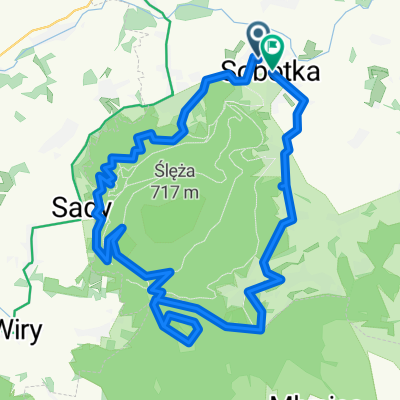
Wrocławska, Rogów Sobócki do Jutrzenki, Sulistrowice
- 10.7 km
- 298 m
- 211 m
- Sobótka, Lower Silesian Voivodeship, Poland
A cycling route starting in Sobótka, Lower Silesian Voivodeship, Poland.
Overview
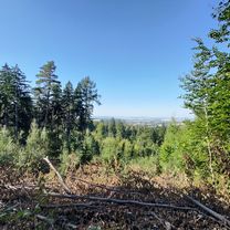
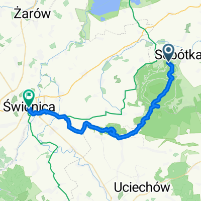
Proponowana trasa wiedzie w większości mało uczęszczanymi przez auta drogami, jednakże z uwagi na brak wydzielonych dróg rowerowych należy zachować wzmożoną ostrożność - fragmenty są dosyć ruchliwe. Z wielu miejsc trasy piękne widoki na Masyw Ślęży. Trasa pagórkowata na około 2-4 godziny jazdy.
created this 4 years ago


Route quality
Road
22.5 km
(55 %)
Quiet road
13.5 km
(33 %)
Paved
24.5 km
(60 %)
Unpaved
2.9 km
(7 %)
Asphalt
24.5 km
(60 %)
Ground
2.5 km
(6 %)
Continue with Bikemap
You would like to ride Szosowa rodzinna 40-tka - propozycja trasy od GreeneBikes.pl or customize it for your own trip? Here is what you can do with this Bikemap route:
Free trial for 3 days, or one-time payment. More about Bikemap Premium.
Discover more Premium features.
Get Bikemap PremiumFrom our community
Open it in the app