VALDEPEÑAS-MORAL-BOLAÑOS-CRUCE DAIMIEL-VALDEPEÑAS
- 74.1 km
- 231 m
- 245 m
- Valdepeñas, Castille-La Mancha, Spain
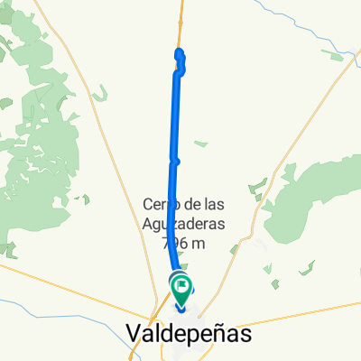
A cycling route starting in Valdepeñas, Castille-La Mancha, Spain.
Overview
THE ONLY CYCLE TOURING ROUTE, ALTHOUGH WITH A SOMEWHAT TOUGH SECTION AT THE DESPEÑAPERROS PASSAGE. ON THE OTHER HAND, IT IS ABSOLUTELY BEAUTIFUL AND FANTASTIC.
created this 14 years ago
Route quality
Road
58.4 km
(63 %)
Track
20.4 km
(22 %)
Paved
10.2 km
(11 %)
Unpaved
21.3 km
(23 %)
Ground
21.3 km
(23 %)
Asphalt
10.2 km
(11 %)
Undefined
61.2 km
(66 %)
Continue with Bikemap
You would like to ride ALTERNATIVA A DESPEÑAPERROS or customize it for your own trip? Here is what you can do with this Bikemap route:
Free trial for 3 days, or one-time payment. More about Bikemap Premium.
Discover more Premium features.
Get Bikemap PremiumFrom our community
Open it in the app