

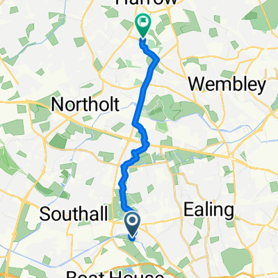
LAS London - Cardiff
A cycling route starting in Southall, England, United Kingdom.
Overview
About this route
Via Ambulance Stations at Slough, Reading, Thatcham, Newbury, Swindon, Malmsbury, Severn Bridge, Newport & Cardiff
- -:--
- Duration
- 256.6 km
- Distance
- 593 m
- Ascent
- 587 m
- Descent
- ---
- Avg. speed
- 228 m
- Avg. speed
Route quality
Waytypes & surfaces along the route
Waytypes
Road
83.7 km
(33 %)
Quiet road
83 km
(32 %)
Surfaces
Paved
155.6 km
(61 %)
Unpaved
2.7 km
(1 %)
Asphalt
148.4 km
(58 %)
Paved (undefined)
4.5 km
(2 %)
Continue with Bikemap
Use, edit, or download this cycling route
You would like to ride LAS London - Cardiff or customize it for your own trip? Here is what you can do with this Bikemap route:
Free features
- Save this route as favorite or in collections
- Copy & plan your own version of this route
- Split it into stages to create a multi-day tour
- Sync your route with Garmin or Wahoo
Premium features
Free trial for 3 days, or one-time payment. More about Bikemap Premium.
- Navigate this route on iOS & Android
- Export a GPX / KML file of this route
- Create your custom printout (try it for free)
- Download this route for offline navigation
Discover more Premium features.
Get Bikemap PremiumFrom our community
Other popular routes starting in Southall
 De Clarence Street 57 a Clarence Street 58
- Distance
- 3.3 km
- Ascent
- 70 m
- Descent
- 72 m
- Location
- Southall, England, United Kingdom
 favourite 1
- Distance
- 12 km
- Ascent
- 3,612 m
- Descent
- 3,626 m
- Location
- Southall, England, United Kingdom
 Adelaide Road 37 to Chiswick High Road 566
- Distance
- 9.7 km
- Ascent
- 3 m
- Descent
- 21 m
- Location
- Southall, England, United Kingdom
 The Old Farm House, Southall to 59 High St, Southall
- Distance
- 15.6 km
- Ascent
- 15 m
- Descent
- 6 m
- Location
- Southall, England, United Kingdom
 Hanwell to Limehouse Basin Canal Route
- Distance
- 39.4 km
- Ascent
- 56 m
- Descent
- 62 m
- Location
- Southall, England, United Kingdom
 Ride Bike Path From Near work
- Distance
- 9.7 km
- Ascent
- 115 m
- Descent
- 13 m
- Location
- Southall, England, United Kingdom
 Southall to Richmond View
- Distance
- 27 km
- Ascent
- 75 m
- Descent
- 77 m
- Location
- Southall, England, United Kingdom
 Harewood Terrace 74 do Harewood Terrace 32
- Distance
- 43.7 km
- Ascent
- 260 m
- Descent
- 259 m
- Location
- Southall, England, United Kingdom
Open it in the app