Grandsberg 6, Schwarzach nach Kalteck 9, Achslach
- 7.1 km
- 175 m
- 245 m
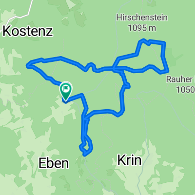
- Böbrach, Bavaria, Germany
A cycling route starting in Böbrach, Bavaria, Germany.
Overview
This is a trail route with many carry sections and 2 via ferrata–like spots.
Hirschenstein mountain run and 'I laff alloa an Hirschenstoa' 2021
created this 4 years ago
Route quality
Path
11.1 km
(71 %)
Track
4.4 km
(28 %)
Undefined
0.2 km
(1 %)
Unpaved
14.8 km
(94 %)
Ground
11.1 km
(71 %)
Gravel
2.8 km
(18 %)
Continue with Bikemap
You would like to ride D_Bayern_Grandsberg-Teufelsstein-RR-Höhenberg-Teufelsstein-LR-Mühlgraben-RR-Hirschenstein-Mühlgraben-LR-Schopf_15,7km-630hm or customize it for your own trip? Here is what you can do with this Bikemap route:
Free trial for 3 days, or one-time payment. More about Bikemap Premium.
Discover more Premium features.
Get Bikemap PremiumFrom our community
Open it in the app