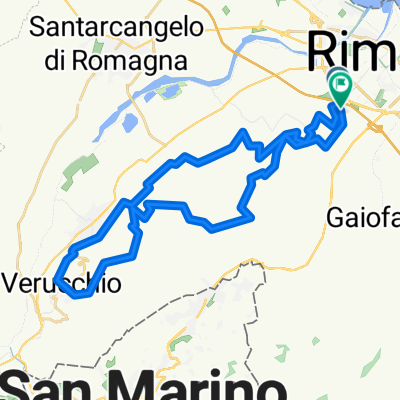
casa - Gatteo a Mare
- 48.1 km
- 91 m
- 93 m
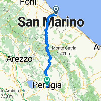
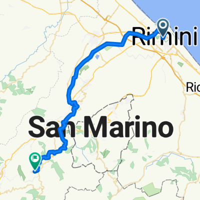
- Rimini, Emilia-Romagna, Italy
A cycling route starting in Rimini, Emilia-Romagna, Italy.
Overview
From the Gianni Rodari Primary School, take the Ausa bike path, first crossing via Covignano and then via Marecchiese. You will travel a stretch of path within the park along the Marecchia river and exit on via Nataloni, compacting the group on bicycles to safely cross via Dario Campana. From here, continue along the bike path to Piazzale Valturio, execute the roundabout, and enter Piazza Malatesta, crossing Piazza Cavour and Corso d’Augusto until the Arch, then enter Cervi Park from via Bastioni Orientali. The itinerary continues in the Green Ring along the cycling and pedestrian route Claudio Ugolini until Lake Mariotti, then exits onto via Simonini, turns onto via Monte Titano at the roundabout and onto via Acquario next. When you reach via Panzini, it is necessary to cross on foot to continue again on via Acquaio to return to school.
created this 4 years ago
Route quality
Cycleway
4.2 km
(48 %)
Quiet road
2.7 km
(31 %)
Paved
4.6 km
(52 %)
Unpaved
2.6 km
(29 %)
Asphalt
4.6 km
(52 %)
Unpaved (undefined)
1.2 km
(14 %)
Continue with Bikemap
You would like to ride Scuola Primaria Gianni Rodari or customize it for your own trip? Here is what you can do with this Bikemap route:
Free trial for 3 days, or one-time payment. More about Bikemap Premium.
Discover more Premium features.
Get Bikemap PremiumFrom our community
Open it in the app