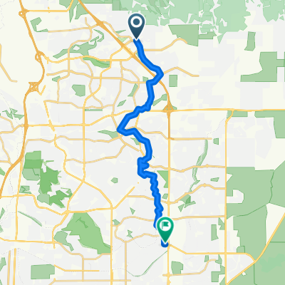
Peyton Post Office to Querida Drive 1002, Colorado Springs
A cycling route starting in Black Forest, Colorado, United States of America.
Overview
About this route
- 2 h 20 min
- Duration
- 40.4 km
- Distance
- 65 m
- Ascent
- 139 m
- Descent
- 17.3 km/h
- Avg. speed
- ---
- Avg. speed
Route photos
Continue with Bikemap
Use, edit, or download this cycling route
You would like to ride Peyton Post Office to Querida Drive 1002, Colorado Springs or customize it for your own trip? Here is what you can do with this Bikemap route:
Free features
- Save this route as favorite or in collections
- Copy & plan your own version of this route
- Sync your route with Garmin or Wahoo
Premium features
Free trial for 3 days, or one-time payment. More about Bikemap Premium.
- Navigate this route on iOS & Android
- Export a GPX / KML file of this route
- Create your custom printout (try it for free)
- Download this route for offline navigation
Discover more Premium features.
Get Bikemap PremiumFrom our community
Other popular routes starting in Black Forest
- Route to Goose Gossage Skatepark
- Distance
- 14.7 km
- Ascent
- 13 m
- Descent
- 219 m
- Location
- Black Forest, Colorado, United States of America
- Route to work
- Distance
- 4.8 km
- Ascent
- 9 m
- Descent
- 104 m
- Location
- Black Forest, Colorado, United States of America
- Adriana
- Distance
- 4.8 km
- Ascent
- 75 m
- Descent
- 36 m
- Location
- Black Forest, Colorado, United States of America
- Peyton Post Office to Querida Drive 1002, Colorado Springs
- Distance
- 40.4 km
- Ascent
- 65 m
- Descent
- 139 m
- Location
- Black Forest, Colorado, United States of America
- Cherry Plum to Pulpit Rock
- Distance
- 29.4 km
- Ascent
- 354 m
- Descent
- 331 m
- Location
- Black Forest, Colorado, United States of America
- JC June 27 2020
- Distance
- 15.8 km
- Ascent
- 99 m
- Descent
- 99 m
- Location
- Black Forest, Colorado, United States of America
- Cherry Plum to Pulpit Rock
- Distance
- 12.5 km
- Ascent
- 120 m
- Descent
- 240 m
- Location
- Black Forest, Colorado, United States of America
- Falcon N 20 Mi
- Distance
- 32.3 km
- Ascent
- 264 m
- Descent
- 264 m
- Location
- Black Forest, Colorado, United States of America
Open it in the app