Klein aber oho
- 22 km
- 469 m
- 582 m
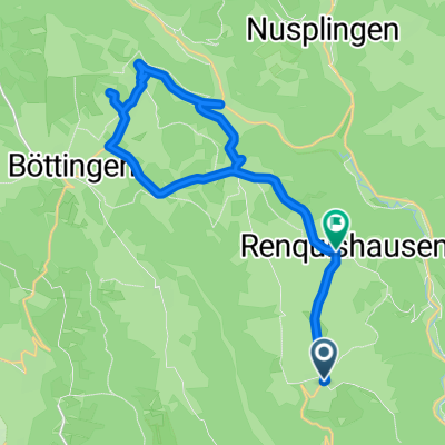
- Kolbingen, Baden-Wurttemberg, Germany
A cycling route starting in Kolbingen, Baden-Wurttemberg, Germany.
Overview
Very nice route over the Alb plateau with a breathtaking descent into Bärenthal. For the most part, the route is paved, otherwise good gravel roads. Places to stop:
created this 4 years ago
Route quality
Track
34 km
68 %
Quiet road
12.5 km
25 %
Paved
28.5 km
(57 %)
Unpaved
19 km
(38 %)
Asphalt
25.5 km
51 %
Gravel
15.5 km
31 %
Continue with Bikemap
You would like to ride Ursental - Dreifaltigkeitsberg - Bärenthal or customize it for your own trip? Here is what you can do with this Bikemap route:
Free trial for 3 days, or one-time payment. More about Bikemap Premium.
Discover more Premium features.
Get Bikemap PremiumFrom our community
Open it in the app