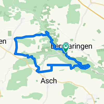
Tannenweg 17, Berghülen nach Treffensbucher Straße 3, Berghülen
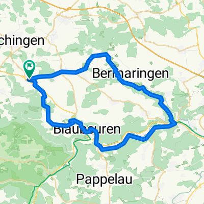
- 19.1 km
- 184 m
- 187 m
- Berghülen, Baden-Wurttemberg, Germany
A cycling route starting in Berghülen, Baden-Wurttemberg, Germany.
Overview
Commute to work
created this 14 years ago
Route quality
Track
6.5 km
39 %
Road
4.8 km
29 %
Paved
13.8 km
(83 %)
Unpaved
0.8 km
(5 %)
Asphalt
13.5 km
81 %
Gravel
0.5 km
3 %
Route highlights
Wiesenweg 5
Continue with Bikemap
You would like to ride Berghülen - Lämmerbuckel or customize it for your own trip? Here is what you can do with this Bikemap route:
Free trial for 3 days, or one-time payment. More about Bikemap Premium.
Discover more Premium features.
Get Bikemap PremiumFrom our community
Open it in the app