
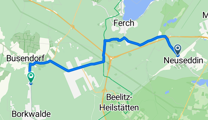
Route to Ernst-Thälmann-Straße 119, Borkwalde
A cycling route starting in Michendorf, Brandenburg, Germany.
Overview
About this route
- 54 min
- Duration
- 14.8 km
- Distance
- 125 m
- Ascent
- 110 m
- Descent
- 16.5 km/h
- Avg. speed
- 90 m
- Max. altitude
Route quality
Waytypes & surfaces along the route
Waytypes
Road
4.4 km
(30 %)
Path
3.4 km
(23 %)
Surfaces
Paved
13.3 km
(90 %)
Unpaved
1.1 km
(7 %)
Asphalt
12.1 km
(82 %)
Gravel
1 km
(7 %)
Continue with Bikemap
Use, edit, or download this cycling route
You would like to ride Route to Ernst-Thälmann-Straße 119, Borkwalde or customize it for your own trip? Here is what you can do with this Bikemap route:
Free features
- Save this route as favorite or in collections
- Copy & plan your own version of this route
- Sync your route with Garmin or Wahoo
Premium features
Free trial for 3 days, or one-time payment. More about Bikemap Premium.
- Navigate this route on iOS & Android
- Export a GPX / KML file of this route
- Create your custom printout (try it for free)
- Download this route for offline navigation
Discover more Premium features.
Get Bikemap PremiumFrom our community
Other popular routes starting in Michendorf
 Ausflug nach Luckenwalde
- Distance
- 83.4 km
- Ascent
- 247 m
- Descent
- 247 m
- Location
- Michendorf, Brandenburg, Germany
 Von Caputh rund um den Templiner See
- Distance
- 29 km
- Ascent
- 129 m
- Descent
- 127 m
- Location
- Michendorf, Brandenburg, Germany
 Känsdorf-Langerwisch-Michendorf
- Distance
- 22.3 km
- Ascent
- 80 m
- Descent
- 82 m
- Location
- Michendorf, Brandenburg, Germany
 Friedensradfahrt 2009 Paris - Moskau 19. Etappe Caputh - Berlin am 24. Juli 2009
- Distance
- 44.5 km
- Ascent
- 224 m
- Descent
- 220 m
- Location
- Michendorf, Brandenburg, Germany
 RTF Flämingrunde 70 km Runde
- Distance
- 68.9 km
- Ascent
- 300 m
- Descent
- 299 m
- Location
- Michendorf, Brandenburg, Germany
 seddin - potsdam marquardt
- Distance
- 20.6 km
- Ascent
- 55 m
- Descent
- 77 m
- Location
- Michendorf, Brandenburg, Germany
 Potsdamer Haveltour 1
- Distance
- 30.5 km
- Ascent
- 85 m
- Descent
- 86 m
- Location
- Michendorf, Brandenburg, Germany
 RTF Flämingrunde 150 km Runde
- Distance
- 152 km
- Ascent
- 404 m
- Descent
- 405 m
- Location
- Michendorf, Brandenburg, Germany
Open it in the app