

Abbiategrasso-E1sud-Besate-Abbiategrasso
A cycling route starting in Abbiategrasso, Lombardy, Italy.
Overview
About this route
Route largely on gravel roads, immersed in the greenery of the Parco del Ticino and passing through the southwest area of Abbiategrasso. The track takes you along dirt paths through woods and, above all, cultivated fields in a green landscape far from city concrete.
The route also passes close to the Ticino River, at the canal outfall.
Points on the route:
- Abbiategrasso, Via Prabalò, where you join the E1 trail to Besate
- canal outfall into the Ticino
- Soria Vecchia
- farmhouses and agriturismos to Besate (Cascina Caremma)
- return on the towpath of the Naviglio (cycle path)
- included a detour to Morimondo Abbey
Almost the entire route is rideable on a bike—either gravel tracks or virtually traffic-free country roads (you're more likely to meet a tractor than a car)
Critical points: there's a dangerous, unmanned level crossing over the Milan-Mortara railway line, and you'll need to ride a few hundred meters on the Vigevanese state road at Soria Vecchia.
Instead of returning from Besate, you can extend the ride as much as you like on the E1 towards Pavia.
Recommended bike: definitely a mountain bike!
- -:--
- Duration
- 40.8 km
- Distance
- 44 m
- Ascent
- 45 m
- Descent
- ---
- Avg. speed
- ---
- Max. altitude

Route quality
Waytypes & surfaces along the route
Waytypes
Track
12.2 km
(30 %)
Access road
11.8 km
(29 %)
Surfaces
Paved
20 km
(49 %)
Unpaved
9.4 km
(23 %)
Asphalt
18.4 km
(45 %)
Gravel
4.1 km
(10 %)
Route highlights
Points of interest along the route
Point of interest after 8.2 km
Continue with Bikemap
Use, edit, or download this cycling route
You would like to ride Abbiategrasso-E1sud-Besate-Abbiategrasso or customize it for your own trip? Here is what you can do with this Bikemap route:
Free features
- Save this route as favorite or in collections
- Copy & plan your own version of this route
- Sync your route with Garmin or Wahoo
Premium features
Free trial for 3 days, or one-time payment. More about Bikemap Premium.
- Navigate this route on iOS & Android
- Export a GPX / KML file of this route
- Create your custom printout (try it for free)
- Download this route for offline navigation
Discover more Premium features.
Get Bikemap PremiumFrom our community
Other popular routes starting in Abbiategrasso
 abbiategrasso-mortara-casale-chivasso -torino
- Distance
- 127.4 km
- Ascent
- 238 m
- Descent
- 110 m
- Location
- Abbiategrasso, Lombardy, Italy
 Abbiategrasso-Vigevano-Bereguardo-Abbiategraso
- Distance
- 50.9 km
- Ascent
- 74 m
- Descent
- 97 m
- Location
- Abbiategrasso, Lombardy, Italy
 Abbiategrasso-Turbigo
- Distance
- 63.7 km
- Ascent
- 133 m
- Descent
- 136 m
- Location
- Abbiategrasso, Lombardy, Italy
 Da Via Santa Rosa da Lima 16, Abbiategrasso a Via Giosuè Carducci 25, Abbiategrasso
- Distance
- 47.9 km
- Ascent
- 92 m
- Descent
- 95 m
- Location
- Abbiategrasso, Lombardy, Italy
 TOUR Parco Ticino
- Distance
- 69.7 km
- Ascent
- 98 m
- Descent
- 98 m
- Location
- Abbiategrasso, Lombardy, Italy
 ABBIATEGRASSO -TRECATE
- Distance
- 47.5 km
- Ascent
- 95 m
- Descent
- 106 m
- Location
- Abbiategrasso, Lombardy, Italy
 Abbiategrasso-Rosate-Morimondo-Abbiategrasso
- Distance
- 24.5 km
- Ascent
- 32 m
- Descent
- 33 m
- Location
- Abbiategrasso, Lombardy, Italy
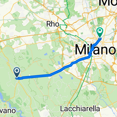 Piazza Guglielmo Marconi 2, Abbiategrasso to Via Adeodato Ressi 16, Milano
- Distance
- 29 km
- Ascent
- 148 m
- Descent
- 107 m
- Location
- Abbiategrasso, Lombardy, Italy
Open it in the app