France 18 : Albertville - Samoëns 1600
- 188.3 km
- 5,454 m
- 3,884 m
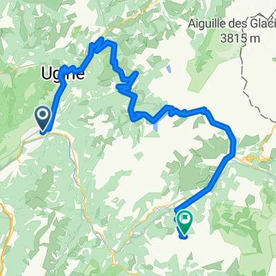
- Grignon, Auvergne-Rhône-Alpes, France
A cycling route starting in Grignon, Auvergne-Rhône-Alpes, France.
Overview
created this 14 years ago
Route highlights
Col de Tamié
Collet de Tamié
Col du Vorger
Col de Montessuit
Col de la Forclaz de Queige
Bisanne
Continue with Bikemap
You would like to ride Bisanne or customize it for your own trip? Here is what you can do with this Bikemap route:
Free trial for 3 days, or one-time payment. More about Bikemap Premium.
Discover more Premium features.
Get Bikemap PremiumFrom our community
Open it in the app