2011 2. Saarland(1/2)marathon
- 152.5 km
- 987 m
- 731 m
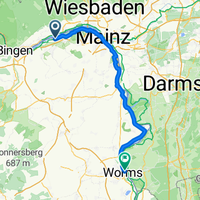
- Nieder-Ingelheim, Rhineland-Palatinate, Germany
A cycling route starting in Nieder-Ingelheim, Rhineland-Palatinate, Germany.
Overview
Samstag, 14. Mai 2011
Das war spitze.
Auch wenn wir die 290 km nicht erreicht haben, was wir locker geschafft hätten, ohne das brutale Gewitter in Schloßböckelheim, war es eine super Tour. Insbesondere die Extraschleife über Schloß Daun verdienen Respekt.
Anerkennenswert ist natürlich auch der unermüdliche Einsatz unseres Windbreaker‘s Joachim, sowohl im Appelbachtal als auch später auf der B420 Richtung Kusel.
created this 14 years ago
Route quality
Path
22.9 km
(15 %)
Road
18.3 km
(12 %)
Paved
123.6 km
(81 %)
Unpaved
3.1 km
(2 %)
Asphalt
119 km
(78 %)
Paved (undefined)
4.6 km
(3 %)
Continue with Bikemap
You would like to ride 2011 2. Saarland(1/2)marathon or customize it for your own trip? Here is what you can do with this Bikemap route:
Free trial for 3 days, or one-time payment. More about Bikemap Premium.
Discover more Premium features.
Get Bikemap PremiumFrom our community
Open it in the app